4,023 results
Geography homeschool curricula under $5
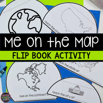
Me on the Map Flip Book - Map Skills Geography Activity
This Me on the Map flip book is the perfect easy-prep project to accompany the book Me on the Map by Joan Sweeney or any beginner map study. Students will identify the planet, continent, country, state, and city or town they live in and begin to understand the relative sizes of each.Prep is simple! Copy a set of the included booklet pages for each student. Students write in the missing words, cut out each semi-circles, and stack them from smallest to largest. Staple the top to complete the fl
Subjects:
Grades:
1st - 3rd
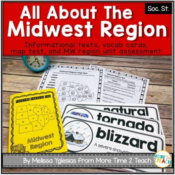
Midwest Region Unit {1 of 5 US Regions}
Help your students learn all about the MIDWEST REGION (Iowa, Kansas, Missouri, Nebraska, North Dakota, South Dakota, Illinois, Indiana, Michigan, Minnesota, Ohio, and Wisconsin) After many hours of searching for kid-friendly material on the MIDWEST REGION OF THE UNITED STATES to use with my 3rd graders, I decided to create a unit of my own. My goal was to create an INTERACTIVE, ENGAGING, and KID-FRIENDLY unit! That's how this resource was born.THIS PRODUCT INCLUDES:* 6-page informational booklet
Grades:
2nd - 4th
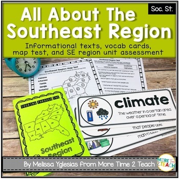
Southeast Region Unit {1 of 5 US Regions}
Help your students learn all about the SOUTHEAST REGION (Virginia, North Carolina, South Carolina, Georgia, Florida, Alabama, Arkansas, Kentucky, Louisiana, Mississippi, Tennessee, and West Virginia)After many hours of searching for kid-friendly material on the SOUTHEAST REGION OF THE UNITED STATES to use with my 3rd graders, I decided to create a unit of my own. My goal was to create an INTERACTIVE, ENGAGING, and KID-FRIENDLY unit! That's how this resource was born.THIS PRODUCT INCLUDES:* 6-pag
Grades:
2nd - 4th
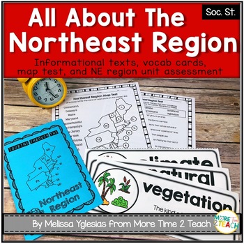
Northeast Region Unit {1 of 5 US Regions}
Help your students learn all about the NORTHEAST REGION (Connecticut, Maine, Massachusetts, New Hampshire, Rhode Island, Vermont, Delaware, Maryland, New Jersey, New York, and Pennsylvania)After many hours of searching for kid-friendly material on the NORTHEAST REGION OF THE UNITED STATES to use with my 3rd graders, I decided to create a unit of my own. My goal was to create an INTERACTIVE, ENGAGING, and KID-FRIENDLY unit! That's how this resource was born.THIS PRODUCT INCLUDES:* 6-page informat
Grades:
2nd - 4th
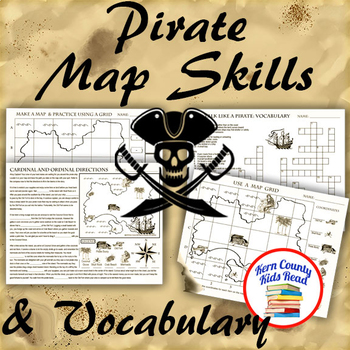
Pirate Map Skills: Grid Coordinates, Cardinal & Ordinal Directions, Symbols
Teach and strengthen coordinate grid math, geography mapping skills like map symbols and cardinal and ordinal directions with a compass rose, and new vocabulary with these pirate themed printable worksheets. These are fun mini-lesson activities for Talk Like A Pirate Day on September 19th or if you have a pirates themed unit. Cardinal directions and coordinate grid mapping are important introductory skills to mastering latitude and longitude map skills and being able to use an atlas. Coordinate
Subjects:
Grades:
3rd - 6th
Also included in: Pirates Thematic Unit Study Bundle: Talk Like A Pirate Pack!
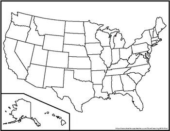
Blank United States Maps (Four map versions with Quiz)
Hi there! This file contains four maps of the United States of America: a blank mapa blank map with stars for the capitalsa blank map with states numbered in order of statehooda larger map (two-page spread) with stars for the capitalsAlso included is a fill-in sheet (quiz) for students to name the numbered states and an answer key. Thank you for shopping with "Learning With Kiwi" and happy learning!
Subjects:
Grades:
K - 8th
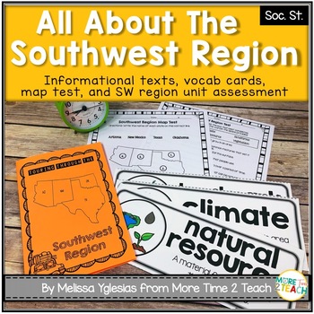
Southwest Region Unit {1 of 5 US Regions}
Help your students learn all about the SOUTHWEST REGION (Arizona, New Mexico, Oklahoma, and Texas)After many hours of searching for kid-friendly material on the SOUTHWEST REGION OF THE UNITED STATES to use with my 3rd graders, I decided to create a unit of my own. My goal was to create an INTERACTIVE, ENGAGING, and KID-FRIENDLY unit! That's how this resource was born.THIS PRODUCT INCLUDES:* 6-page informational booklet on the Southwest Region (interactive and kid-friendly)* directions on how to
Subjects:
Grades:
2nd - 4th
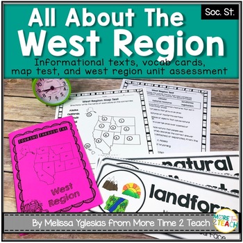
West Region Unit {1 of 5 US Regions}
Help your students learn all about the WEST REGION (Colorado, Idaho, Montana, Nevada, Utah, Wyoming, California, Oregon, Washington, Alaska, and Hawaii)After many hours of searching for kid-friendly material on the WEST REGION OF THE UNITED STATES to use with my 3rd graders, I decided to create a unit of my own. My goal was to create an INTERACTIVE, ENGAGING, and KID-FRIENDLY unit! That's how this resource was born.THIS PRODUCT INCLUDES:* 6-page informational booklet on the West Region (interact
Grades:
2nd - 4th
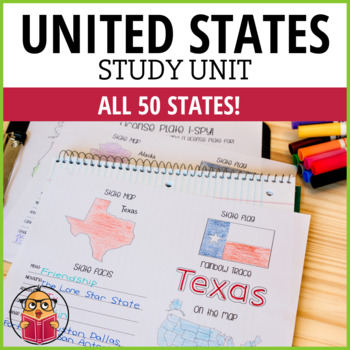
United States Geography Worksheets
Let Your Students Have Fun As They Study The States!Looking for a way to learn more about the different states in America? Then check out these United States Worksheets! This packet has one sheet for each state, with key information like the state motto, nickname, abbreviation, capital, and popular cities. So whether you're looking to brush up on your geography or just want to learn more about America's history and culture, these worksheets are a great resource. Get started learning today!*This
Subjects:
Grades:
1st - 6th
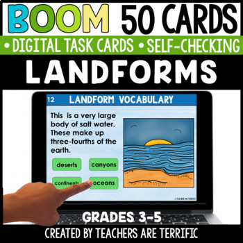
Landforms Boom Cards - Digital
This set of Boom Cards features 50 cards to practice landform vocabulary and identification. These digital self-checking Boom Cards are such a great way for students to practice their knowledge of landforms.The Boom Cards include:14 multiple-choice cards- students use vocabulary meanings and images to identify landforms14 Drag and Drop cards- students use meanings and images to move correct answers 22 multiple-choice photo identification cards- students identify landforms shown in photosYour Gui
Subjects:
Grades:
3rd - 5th
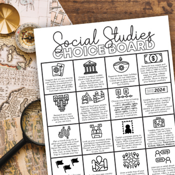
Social Studies Choice Board: Project-Based Independent Learning
Keep their brains active and get them engaged in their learning with this project-based Social Studies choice board! These projects will activate prior knowledge and motivate students to seek out new skills they have not yet mastered.This choice board includes sixteen project choices that involve multiple real-life social studies applications, including:physical geographyculturehistory current eventsgovernment and politicslandmarkssymbologyeconomicsIt's up to you to decide how to use this choice
Subjects:
Grades:
6th - 10th
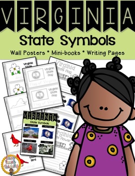
Virginia State Symbols Notebook
The Virginia symbols included in this notebook are: the capital, the state flag, state bird, and state flower.
This set includes links to learn about each symbol. Wall charts are included with real photos so your children will have a better understanding of how the symbols look. The mini-books which are included have a picture of the symbols, as well as, tracing so the children can become familiar with spelling, as many of the words will be new to them. The mini-books are available in both col
Grades:
PreK - 1st
Also included in: Virginia Bundle - Three Sets of Lesson Helps
France Fact Booklet and Activities | Nonfiction | Comprehension | Craft
France - the smell of warm croissants and Eiffel Tower! Your kids will have a fantastic time learning about French traditions. Engaging activities with a French flair are included in this fact booklet!This fact booklet on France is a great resource to use for a research project on countries around the world/Europe with your pre-k/kindergarten class and struggling first graders. Included in this product is a black and white informational book about France that can be used for independent reading
Subjects:
Grades:
PreK - 1st
Also included in: Countries Fact Booklet Bundle | Crafts | Comprehension | Writing
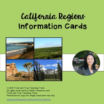
California Regions Info Cards
Key facts about each of the four California regions is accessible for fourth grade students in these California Regions Info Cards. Natural features, industries, unique facts, and attractions are highlighted in each region. Photographs enhance student understanding. This is a stand-alone product that may be printed and laminated as information cards or they may be used for students to access online as another resource. Graphic organizers are included for note-taking, as well as links to a Google
Subjects:
Grades:
3rd - 5th
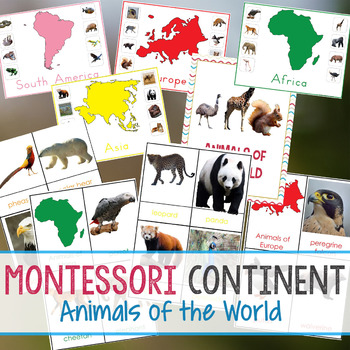
Montessori Continent Animals of The World
Animals of The World
Montessori Animals of The World Bundle
This fantastic Geography bundle is 39 pages of Hands-on Learning. It is filled with real-life animal pictures with color-coded Continents and cards.
This Montessori inspired geography bundle is geared towards 3-6 year olds. You will have 3-part cards of each of the 7 Continents and animals that live on that Continent. The animals are beautiful real life images.
Each Continent has a Control Sheet with the Colored Continent and all o
Subjects:
Grades:
PreK - 3rd
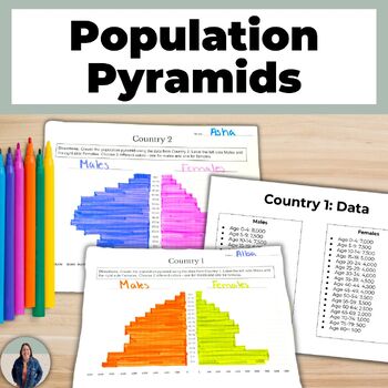
Create a Population Pyramid Project for Geography Population Growth and Decline
Are you looking for practice creating population pyramids? Then this is for you! These scaffolded population pyramids are great for helping all students access grade level content! Students are given two countries' population data to make a population pyramid. They will also create their own population for a country and can create a population pyramid using their data or switch with a peer and complete each others.This is a no-prep project! Just print and go! Students will make 3 population pyra
Grades:
8th - 11th
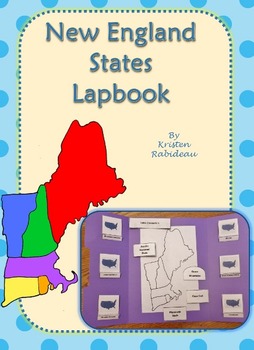
US Geography New England States Lapbook
This New England States Lapbook is one of a kind! It's doesn't have page after page of blank inserts. ALL the inserts already have information in them for your students to read, learn, and review as they complete this project.
This Lapbook includes matchbooks for 6 New England States:
Maine, New Hampshire, Vermont, Rhode Island, Connecticut, and Massachusetts.
The matchbooks include a picture of the state's flag, abbreviation, flower and bird. Also included are little flip-outs for southeas
Subjects:
Grades:
1st - 5th
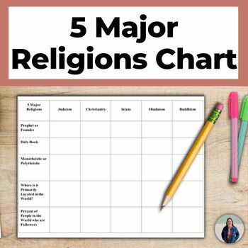
World Religions Chart for 5 Major Religions and Cultural Geography
This world religions chart helps teach students about the 5 major religions that are popular around the world. Students complete this chart & write descriptions of each of the 5 Major Religions (Islam, Buddhism, Christianity, Hinduism, Judaism). This is great for helping all students access grade level content!There are many options for how to use this chart. You can assign students to complete the chart using notes or the Internet, you can complete the chart as a whole class notes activity,
Subjects:
Grades:
8th - 11th
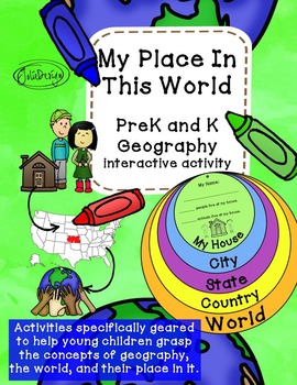
My Place In This World - PreK or K Geography Activity
Activities specifically geared to help young children grasp the concepts of geography, the world, and their place in it. Students explore their world and learn basic map skills.
Engaging for visual learners, kinesthetic learners and tactile learners alike.
This simple geography activity is perfect for Pre-K and Kindergarten. It can be completed in whole or small-group format, either woven into your lessons as 5 parts or done in one sitting.
I suggest printing each disc on a different color of
Grades:
PreK - K
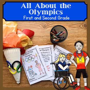
Summer Olympics 2024 1st & 2nd Grade Reading Comprehension Activities with Craft
Looking for ways to teach about the Olympics? This Olympics Informational Reading Comprehension and Integrative Unit is perfect for your first or second-grade class or homeschool students. This printable activity has a traceable sight words activity intermixed in the text along with a reading comprehension activity. Your 1st, and 2nd-grade students will enjoy diving deeper into the Olympics with a step-by-step Olympic torch craft and more!This 16- Page informational booklet includes all the foll
Grades:
1st - 2nd
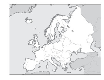
Physical Geography of Europe Worksheet - Map Labeling
Students are asked to label a variety of physical features on a blank map of Europe. Included:
Alpine Mountain System
Iberian, Scandinavian, and Balkan Peninsulas
Seas and Oceans
Rhine and Danube Rivers
Northern European Plain
and many more
Grades:
3rd - 12th
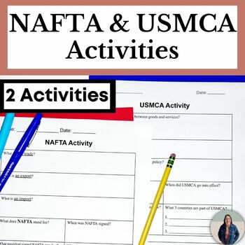
Scaffolded NAFTA and USMCA Activities for Social Studies
Students will learn about the purpose of NAFTA (North American Free Trade Agreement) and USMCA (United States-Mexico-Canada Agreement). This scaffolded activity simplifies USMCA's and NAFTA's purpose and policies and helps all students access grade level content! This resource has been updated to include an activity for USMCA, the United States-Mexico-Canada Agreement, which replaced NAFTA in 2020. Evaluate the United States' economic policy with these USMCA and NAFTA activities. TEACHERS LIKE Y
Grades:
7th - 10th
Egypt Fact Booklet and Activities | Nonfiction | Comprehension | Craft
Egypt with its fascinating history, famous landmarks and hieroglyphs capture your students' interest as soon as they start exploring this fact booklet. Packed with engaging activities that will make a great display in your classroom.This fact booklet on Egypt is a great resource to use for a research project on countries around the world with your pre-k/kindergarten class and struggling first graders. Included in this product is a black and white informational book about Egypt that can be used f
Subjects:
Grades:
PreK - 1st
Italy Fact Booklet and Activities | Nonfiction | Comprehension | Craft
The activities in this fact booklet have been carefully selected to capture the interest of young learners. And who can resist the Leaning Tower of Pisa and the smell coming from the kitchen of charming pizza bakers? The pages in this engaging fact booklet contain basic facts and related illustrations that are perfect for coloring.This fact booklet on Italy is a great resource to use for a research project on countries around the world/Europe with your pre-k/kindergarten class and struggling fir
Subjects:
Grades:
PreK - 1st
Also included in: Countries Fact Booklet Bundle | Crafts | Comprehension | Writing
Showing 1-24 of 4,023 results


