8,991 results
Geography handouts under $5
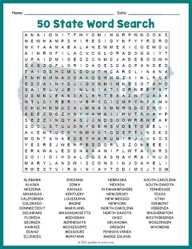
USA GEOGRAPHY Worksheet Activity - All 50 (Fifty) US States Word Search Puzzle
Review United States geography and have your students search for all 50 members of the Union with this challenging worksheet activity. Word search puzzles make great no prep activities for early finishers, bell ringers, morning work, handouts, homework, lesson plan supplements, sponge activities, introductions to new topics, and sub files.We consider this to be a challenging puzzle and it will require quite a bit of time to complete. Students will memorize the names of all fifty states withou
Subjects:
Grades:
4th - 7th
Types:
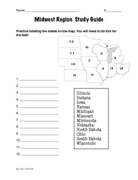
Regions of the United States: Midwest, Study Guide (5 Regions)
This is a 2-page study guide. It includes one page to help your students learn to label the Midwest states on a map. Also includes a page to help learn the state capitals and the state abbreviations.This is an activity that goes along with my resource, Regions of the United States: Midwest, Complete Unit (5 Regions)"The Midwest Region" is a 6-page packet that can be used as a "textbook chapter" when teaching about the five regions of the United States. In the Regions of the United States: Midw
Subjects:
Grades:
3rd - 6th
Types:
Histagories Social Studies End of Year Activity for US and World History
In this history review and conversation game, students are engaged with 8 short lists of information where they work with partners (or individually) to try to come up with answers based on the letter for the round. Included is a letter-choosing paper (students flip a coin and see where it lands!) plus 8 different lists geared toward History, Geography, Geology, and Social Studies themes! A condensed worksheet is also included to save space.Enjoy this fun way to spend the first few (or last few
Subjects:
Grades:
5th - 8th
Types:
13 Colonies Regions New England, Middle, & Southern Colony Regions
In this 13 Colonies and Colony Regions activity, students compare the New England, Middle and Southern Colony Regions. Students read the included student-friendly article (either in a group, individually, or as a class), then fill in the details on the included graphic organizer. This serves as a great intro to the 13 Colonies, or as a great way to learn the varying characteristics of the New England, Middle, or Southern colony regions.This resource includes a paper in-class version and a 1:1
Grades:
5th - 8th
Types:
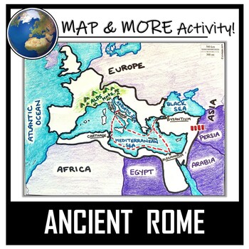
Ancient Rome Map Activity- Roman Empire (Label and Color!)
This Ancient Rome Map Coloring & Labeling Activity is a great resource to enhance your unit! Each student will make their own, personalized map of the Roman Empire, and learn about the geography and landmarks of the region. They will label and color their blank map, and answer follow-up questions related to the geography of Ancient Rome. A fun 'Make a Travel Brochure' project has also been added. It is a great way to connect this map activity to your lesson on Ancient Rome! A link to Goo
Grades:
4th - 11th
Types:
CCSS:
Also included in: Ancient Civilizations / World Maps BUNDLE- Color & Label Activities!
Latitude and Longitude Worksheet | 3 Activities for Latitude Longitude
In this latitude and longitude student activity lesson, students are taught how the geographic coordinates of longitude and latitude are used and found. Students complete THREE different activities to build their skills with understanding latitude and longitude. First, students complete a short introductory reading with a short activity focused on the purpose and basics of latitude and longitude. Next, students complete a "Which City Is Located Here" activity, where they are given geographic c
Grades:
5th - 8th
Types:
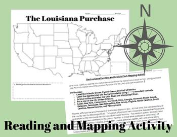
The Louisiana Purchase and Lewis & Clark Mapping Activity
This one day lesson will introduce students to the Louisiana Purchase while incorporating mapping and geography skills.Included in your purchase:1. Summary of Louisiana Purchase and Lewis & Clark expedition.2. Blank Map of the United States3. Directions for coloring and labeling map of the United States using current and historical place names related to the Lousiana Purchase and the Lewis & Clark Expedition.Note Some Additional Supplies Needed:--Colored Pencils--Map resources to help st
Grades:
6th - 10th
Types:
Also included in: Thomas Jefferson, The Louisiana Purchase and Lewis & Clark Lesson Bundle
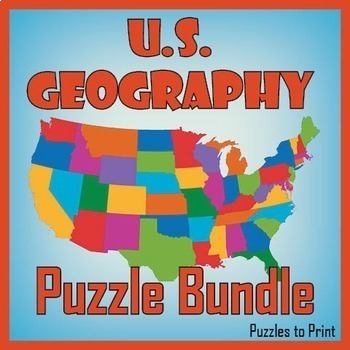
No Prep US Geography - Regions of the USA Word Search & Map Worksheet BUNDLE
Use this bundle of fun puzzles to help students learn the names and locations of all fifty states. Each US geography worksheet concentrates on one of five regions and includes three activities. First students must unscramble the names, then place them on the map, and finally find them in a word search.We've divided the states into the five following regions: ✔ Western ✔ Mid-Western ✔ North Central ✔ North Eastern ✔ South EasternUse these worksheets to review US geography with th
Subjects:
Grades:
4th - 7th
Types:
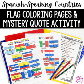
Spanish Speaking Countries Flags Worksheets Spanish Colors Coloring Pages
These coloring pages practice Spanish colors using flags of Spanish-speaking countries. Line versions of each flag have the color in Spanish for each section of the flag (rojo, blanco, azul, etc.) It also includes a mystery phrase activity in basic Spanish using clues about each flag. Ex. La bandera de Colombia es ___, azul, y roja. The answers help solve the secret phrase which is a quote about travel. The answer key for the mystery phrase page is included.These can be copied front and bac
Subjects:
Grades:
4th - 12th
Types:
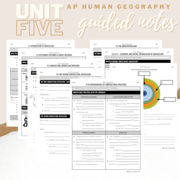
Unit 5: Student Guided Notes - AP Human Geography
Notes pages for CED topics 5.1-5.10 for Unit Five. *NOTE: THIS IS MISSING TOPICS 5.11 and 5.12*Use the guided notes to scaffold your Human Geography lectures or use the notes with my accompanying lecture slideshows! You can find slideshow lectures that correlate directly with EACH CED Topic for AP Human Geography Unit 5 here.Students can use as a study guide, you can assign for homework, or use with a self-guided lecture! You can assign this to be completed digitally for distance learning or pri
Grades:
9th - 12th
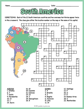
SOUTH AMERICA GEOGRAPHY Crossword Puzzle & Map Worksheet Activity
Help students review and learn the names, locations and capitals of the 12 South American countries and two overseas territories with this crossword worksheet. Each location's name appears twice in the puzzle. The clues give either the location's number as noted on the included map or the name of its capital. Crossword puzzles make great no prep activities for early finishers, bell ringers, morning work, handouts, homework, lesson plan supplements, sponge activities, introductions to new topi
Subjects:
Grades:
4th - 7th
Types:
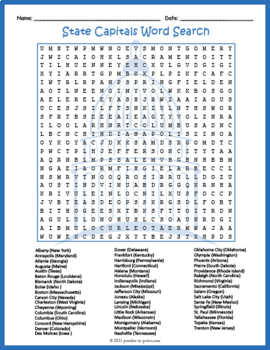
FIFTY (50) US STATE CAPITALS Word Search & Find Worksheet Activity
Challenge your sharp-eyed kids with this printable state capitals word search handout perfect for a fun homework assignment. This worksheet makes a great supplement to U.S. geography lessons and unit plans you may already have. Word search puzzles make great no prep activities for early finishers, bell ringers, morning work, handouts, homework, lesson plan supplements, sponge activities, introductions to new topics, and sub files.Students are given a list of the states along with the capital,
Grades:
4th - 7th
Types:
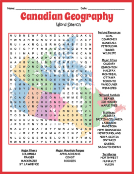
NO PREP CANADIAN GEOGRAPHY - Map of Canada Word Search Worksheet Activity
Reinforce knowledge and review geography while having fun doing a puzzle. This word search puzzle worksheet includes the names of 36 geographical features of Canada. The map that serves as a background to this puzzle adds to the interest. Puzzles make fun no prep activities for early finishers, bell ringers, morning work, handouts, homework, lesson plan supplements, sponge activities, introductions to new topics, classroom themes, and sub files.The categories of Canadian geographical features in
Grades:
4th - 7th
Types:
Also included in: US & WORLD GEOGRAPHY - Word Search Worksheet Mega Bundle
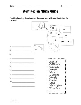
Regions of the United States: West, Study Guide (5 Regions)
This is a 2-page study guide. It includes one page to help your students learn to label the West states on a map. Also includes a page to help learn the state capitals and the state abbreviations.This is an activity that goes along with my resource, Regions of the United States: West, Complete Unit (5 Regions)"The West Region" is a 6-page packet that can be used as a "textbook chapter" when teaching about the five regions of the United States. In the Regions of the United States: West, Complet
Subjects:
Grades:
3rd - 6th
Types:
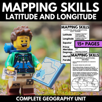
Mapping Skills And Activities - Latitude Longitude Maps and Globes - Geography
Mapping Skills and Activities for Geography featuring Latitude and Longitude! For these geography activities, students practice mapping skills while learning about latitude and longitude in a fun and engaging way. A variety of fun mapping activities are included - use these latitude and longitude activities for your upcoming geography unit or mapping unit! The included activities would make a great addition to a geography interactive notebook!This activity includes the following latitude and lon
Grades:
1st - 4th
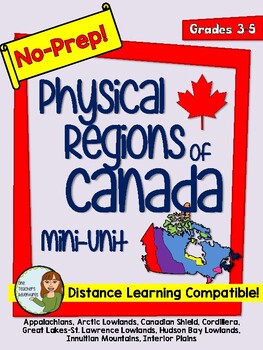
No-Prep Physical Regions of Canada Mini-Unit - Distance Learning Compatible
This no-prep pack comes with information and reading comprehension questions about the 8 Physical Regions of Canada - *The Appalachians*Arctic Lowlands*Canadian Shield*Cordillera*Great Lakes-St. Lawrence Lowlands*Hudson Bay Lowlands *Innuitian Mountains*Interior Plains.The pack includes:-Full colour map of the 8 physical regions-Introduction page with black and white map of Canada's 8 Physical Regions-A worksheet for each region including a map of Canada with the region highlighted, information
Grades:
3rd - 5th
Types:
Ancient India Geography + Monsoons Lesson Guided Notes and PowerPoint Activity
In this Ancient India Geography notes and PowerPoint lesson activity, students learn about the geography, climate, and monsoons of modern and ancient India. First, students complete a two-page guided note worksheet with the included 18-slide PowerPoint presentation. A map activity is also included in the guided notes for students to locate and identify locations as the notes are completed. Next, students complete a close-reading assignment about a ship-wrecked sailor that shows the ancient Ind
Grades:
5th - 8th
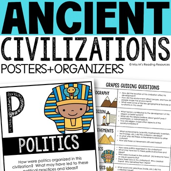
Ancient Civilizations GRAPES Posters Ancient Greece Ancient Rome Ancient China
Help your students learn and organize info about ancient civilizations with these G.R.A.P.E.S. posters, guiding questions, and graphic organizers! The GRAPES Ancient Civilizations Poster and Graphic Organizer Set is an easy acronym to organize information for the basic traits of ancient civilizations. G.R.A.P.E.S. is an acronym for:G- GeographyR- ReligionA- AchievementsP- PoliticsE- EconomicsS- Social StructureGRAPES is an effective way to learn and organize information about different civilizat
Grades:
6th - 8th
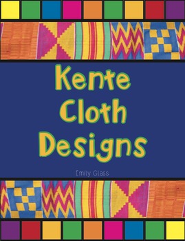
Kente Cloth Designs and Meanings
Recently I did an "Art Around the World" Unit and fell in love with Kente Cloth from Ghana. My 3rd graders made Kente Cloth and we used this handout to create their pieces! There are 20 designs featured here and each design's meaning is included as well. Each design and color is full of meaning and symbolism. By the end of the project your students will have Kente Cloth full of meaning. This handout is simple and easy to read. I know your students will love it!
EmilyGlassSC@gmail.com
Subjects:
Grades:
2nd - 7th
Types:
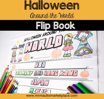
Halloween Around the World Flip Book - History & Reading Activity for Grades 3-6
Engage your 3rd, 4th, 5th, and 6th grade students in social studies lessons with this interactive Halloween Around the World Flip Book! In this resource, students will learn about the history of Halloween, as well as many other October Celebrations around the world! Students will read engaging stories and facts about Halloween and other spooky holidays in Germany, Japan, Ireland and more to create this fun History Flipbook! Halloween Around the World Flip Book - History & Reading Activity In
Subjects:
Grades:
2nd - 5th
Types:
Also included in: Mini Halloween Math Bundle- 3 Activities to Engage Your Students
My Ecological Footprint: Fun Online Activity and Worksheet about Climate Change
Take your class to the computer lab for a fun and engaging activity! Students will use an interactive website to find out how their lifestyle determines their ecological footprint and impacts our planet. This activity is the first step in a fun lesson that spans two classes and gets your students learning about the environmental impact of the choices we make every day. This lesson fits perfectly into a unit or course about climate change, environmentalism, geography or world issues. There is lit
Subjects:
Grades:
9th - 12th
Types:
Also included in: Climate Change and Environmental Sustainability Bundle for High School
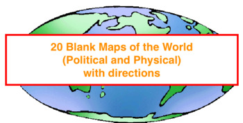
20 Blank Maps of different regions of the world (Political & Physical Maps)
I have created 8 groups of blank maps along with the political (cities, states, countries) and physical (rivers, oceans, mountains etc.) that need to be labeled and colored for each.The maps included are:1. Physical map of the world2. Political and Physical maps of Africa3. Political and Physical maps of South (Latin) America4. Political and Physical maps of US & Canada (One political map of the US, One political map of Canada and then a physical map that contains the US and Canada).5. Polit
Grades:
4th - 12th
Types:
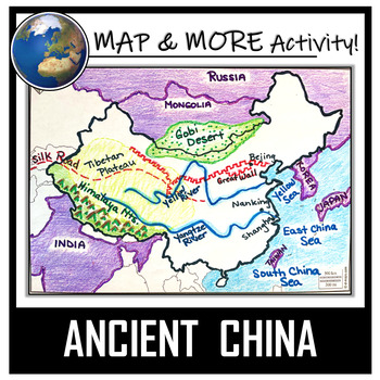
China Map Activity- Ancient China (Label and Color!)
This China Map Coloring & Labeling Activity is a great resource to enhance your unit! Each student will make their own, personalized map of the Chinese Empire, and learn about the geography and landmarks of the region. They will label and color their blank map, and answer follow-up questions related to the geography of China. A fun, 'Make a Travel Brochure' project has also been added. It's a great way of connecting your lesson on China to this map activity! In addition, this activity ha
Grades:
4th - 10th
Types:
CCSS:
Also included in: Ancient Civilizations / World Maps BUNDLE- Color & Label Activities!
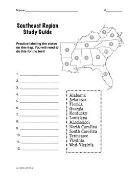
Regions of the United States: Southeast, Study Guide (5 Regions)
This is a 2-page study guide. It includes one page to help your students learn to label the Southeast states on a map. Also includes a page to help learn the state capitals and the state abbreviations.This is an activity that goes along with my resource, Regions of the United States: Southeast, Complete Unit (5 Regions)"The Southeast Region" is a 6-page packet that can be used as a "textbook chapter" when teaching about the five regions of the United States. In the Regions of the United States
Subjects:
Grades:
3rd - 6th
Types:
Showing 1-24 of 8,991 results


