2,427 results
Geography interactive notebooks under $5
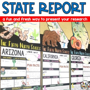
State Reports Research Project Template | Informational Report Writing | Report
These State Report Information Report Pennant Banners come with 50 amazing pennants for displaying your research project on one of the fifty nifty United States. Perfect for any time of the year, these pennants are a great way to supplement your social studies instruction as well as help your students organize their research. Save time by integrating your social studies and ELA instruction! In addition to being excellent informational organizers for your students, these state pennant banners a
Subjects:
Grades:
3rd - 5th
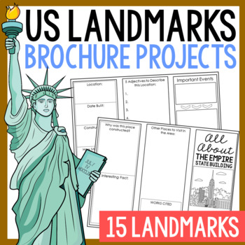
USA LANDMARKS Research Projects | United States Geography Report Activity
This bundle of (15) two-sided tri-fold research brochure templates allows students to dig deeper into facts about famous landmarks in the United States. You'll also find a BLANK template to use with ANY landmark that is not included with this resource. Makes a great addition to your American history and geography unit studies throughout the year. Keep these in your early finisher folder or your sub-folder for no-prep fun.CLICK HERE to save 30% on this resource in the American Landmarks activity
Subjects:
Grades:
3rd - 7th
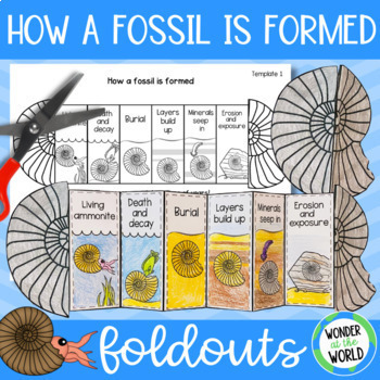
How a fossil is formed foldable sequencing activity fossilization process
Teach or review the stages of how fossils form with this folding ammonite cut-and-paste activity. This foldable sequencing activity will help students recall 6 stages of fossilization in a fun and engaging way, that's more hands-on than a standard fossils worksheet.Ammonites were pre-historic sea creatures with tentacles and a spiral shell. Their fossils can be found all over the world in many different types of sedimentary rock. The templatesThere are 4 similar PDF templates to choose from for
Subjects:
Grades:
1st - 4th
NGSS:
3-LS4-1
Also included in: Rocks and fossils display, presentation and activity bundle
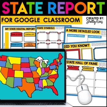
State Research Project | State Report for Google Classroom | 50 States Project
Your students will love completing a state research report with this easy-to-follow digital U.S. State Report Project! Students can research any state and use the provided slides to complete their report. A great option is to print the reports when students are finished to create an eye-catching display for your classroom!Click the PREVIEW button above for a closer look at everything included!This engaging Digital State Report Packet includes:State Research Resource Guide (a list of student-frie
Grades:
3rd - 6th
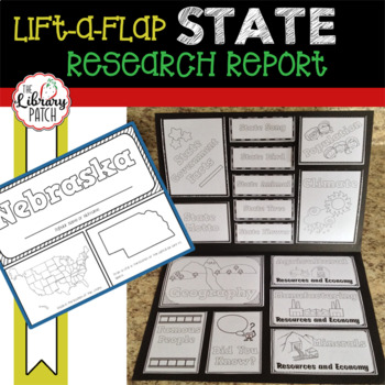
State Report ~ State Research Project
Looking for a simple, straight-forward state research report that your kids will be excited to work on? Here it is! This lift-a-flap style state report will have students excited to research and explore interesting facts about the states. Once their state research is done, students will assemble an engaging report! One that they will be super excited to show off. Students will research the following topics for their state:popular namecapitalstate symbolsstate mottogovernmentpopulationclimategeog
Subjects:
Grades:
3rd - 5th
Also included in: Library Patch's Top 20 Product Bundle
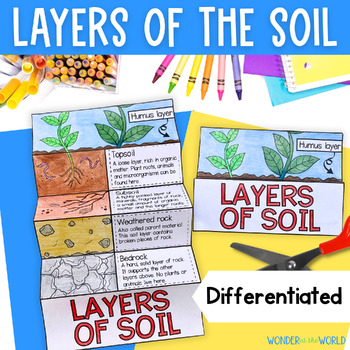
Layers horizons profile of the soil foldable earth science activity cut paste
Review the layers of the soil beneath our feet with this differentiated cut and paste foldable activity. This fun alternative to a worksheet allows students to order the layers in the soil profile with either descriptions or name labels. There's also a template option for students to write descriptions in the boxes.You can download a full preview so you can see exactly what this resource includes before you purchase. Use this activity to support your students' rocks and soils and earth science l
Subjects:
Grades:
2nd - 5th
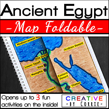
Ancient Egypt Map Foldable for Interactive Notebooks
Spice up your Ancient Egypt geography lesson with this fun map foldable activity! This foldable folds on two lines so that the sides meet in the middle to form a map of Ancient Egypt. The foldable then opens up to 3 activities which will sharpen your students’ knowledge about the geography of Ancient Egypt. The activities on the inside are focused on three topics:Natural barriers that protected Ancient EgyptWays the people of Ancient Egypt used the Nile RiverFacts about the Nile River What’s i
Subjects:
Grades:
3rd - 9th
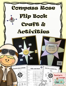
Compass Rose Interactive Craft & Activities
Students will love applying what you've taught them about maps with these engaging activities. These activities will help them review the cardinal directions (N, S, E, W) and intermediate directions (NW, NE, SW, SE).
This set includes:
1 interactive compass rose craft
2 cut and paste activities
1 graph activity
1 review activity
****************************************************
Terms & Conditions
Copyright ©Teacher’s Lounge. All rights reserved by author. This product is to be used by
Grades:
K - 4th
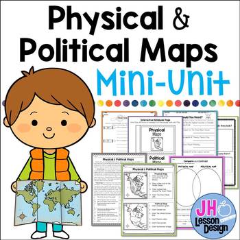
Physical and Political Maps Mini-Unit
Introducing physical and political maps? This may be a great product for you! This purchase includes a variety of fun and meaningful activities to teach your students about the differences between physical and political maps. Your students will be experts soon!This Mini-Unit Includes:Nonfiction Passage with Comprehension Questions and Text Dependent Questions.Interactive Notebook ActivityTwo Graphic OrganizersThree Activity PagesAnswer keys are included. This is part of a BUNDLE
Grades:
3rd - 5th
Also included in: Physical and Political Maps BUNDLE
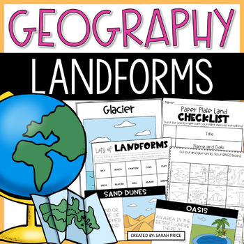
Landforms and Bodies of Water Unit With Lessons Worksheets and Activities
Teach your social studies class all about types of landforms and bodies of water with these hands-on activities! This product includes lesson plans, foldables, worksheets, vocabulary, materials for early finishers, homework suggestions, and MORE.SAVE 30% WHEN YOU BUY THIS PRODUCT IN IT'S BUNDLE!Your class will learn about:- What a landform is- Different types of landforms all over the world- What landforms are in their community and state25 Landforms Included:- Bay- Beach- Butte- Canal- Canyon-
Subjects:
Grades:
2nd - 3rd
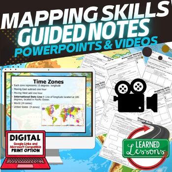
Mapping Skills Historical Thinking Guided Notes PowerPoint Google & Video
World Geography Guided Notes | Mapping Skills Notes and Historical Thinking Notes, Guided Notes and PowerPoints Geography with Video to upload for flipped classroom or distance learningThis Mapping Skills Guided Notes set covers important foundational mapping skills topics such as Geography Overview, Types of Maps, Map Elements, Key Places on Maps, Latitude, Longitude, Time Zones, Climate Zones, Five Themes of Geography, & Biomes. It also includes historical thinking skills topics such as pr
Grades:
5th - 11th
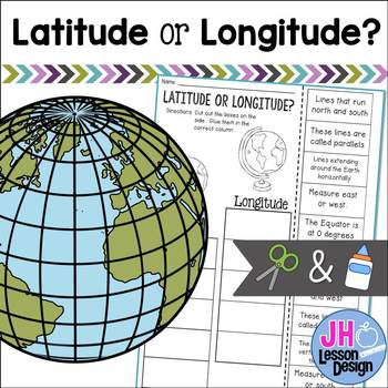
Latitude and Longitude Cut and Paste Activity: Distance Learning Compatible
This is a fun and engaging way to practice determining the difference between latitude and longitude! Students will read a sentence and decide if it is describing latitude or longitude, then glue the box in the correct column. An answer key is included.
Grades:
3rd - 5th
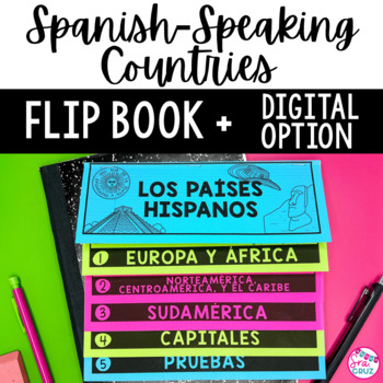
Spanish Speaking Countries and Capitals Flip Book Maps Practice Quizzes
This flip book is a great organizational tool for students who are learning the locations of Spanish-Speaking Countries and their capitals. It includes a no-cut, no-waste printable flip book, as well as a digital version for Google Slides for paperless or distance learning.Includes the following:✅ No cut, no waste, 6 page / 3 pieces of paper printable flip book✅ Digital flip book in Google Slides for paperless or distance learning✅ Western Europe map to label Spain✅ West Africa map to label Equa
Subjects:
Grades:
7th - 10th
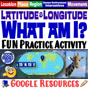
FUN Latitude Longitude Practice Activity | Geography Location Clues | Google
Students & teachers LOVE this digital “What am I?” activity! Challenge your class to use latitude & longitude coordinates to plot the locations of mystery animals on a world map. Then, they read clues & try to guess what animal lives at each absolute location. This activity integrates science & social studies curriculum and keeps your students highly engaged. Your purchase has print & interactive, digital versions of the materials. Made for traditional in-class learning or di
Subjects:
Grades:
4th - 8th
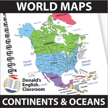
World Maps Continent and Ocean Maps ESL ELL Newcomer
Elevate your classroom with these vibrant and user-friendly World Maps, designed to captivate and inspire your students on their journey to mastering map skills! Boasting a spectrum of colors and clear readability, these 22 maps come both with and without name labels, providing versatility for various teaching approaches. Also included are black-and-white outlined versions, allowing your students to add their personal touch by coloring and labeling. A perfect blend of educational and creative e
Subjects:
Grades:
6th - 9th
Also included in: ESL High School Adult Giga Bundle Black and White ESL ELL Newcomer
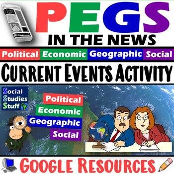
Current Events Activity and Worksheet | PEGS Factors in the News | Google
Challenge students to follow current events and discover PEGS (Political, Economic, Geographic, Social) factors in the news. They watch or read the news, identify examples of stories that represent each PEGS factor, summarize the main ideas, then justify their decisions. Includes links to websites and a PEGS reference chart for interactive notebooks. This activity can be assigned regularly throughout the year, so students stay informed & connect the real world to your classroom. Social Studi
Grades:
5th - 12th
CCSS:
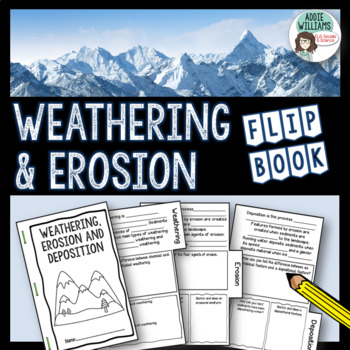
Weathering and Erosion Flip Book
Weathering and Erosion FlipBook - Easy to use flipbook to review and learn the concepts related to weathering and erosion! My students love to put these flipbooks together. Covers the main concepts related to weathering (physical/chemical), erosion, and deposition. Extra space for students to add their own notes and information about weathering and erosion.This activity includes three different versions of the booklet for easy differentiation for varying grade levels and abilities. It also come
Subjects:
Grades:
6th - 9th
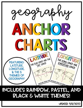
Latitude & Longitude + 5 Themes of Geography Anchor Charts
Latitude and Longitude are tricky concepts to teach! I print mini copies of these out for my students to place in their interactive notebooks and I have large copies hanging in my classroom as a reference guide. I have also included my 5 Themes of Teography reference charts as well.
Grades:
4th - 12th
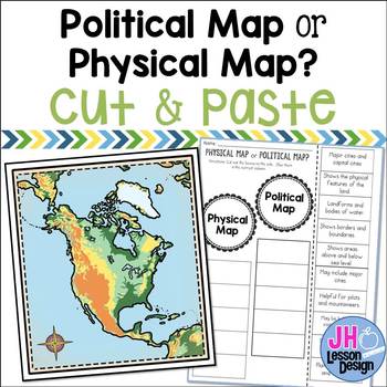
Physical Maps and Political Maps: Cut and Paste: Distance Learning Compatible
Physical map or political map? This is a fun and engaging way to practice determining the difference between physical and political maps! Students will read a statement and decide if it is describing a physical or political map, then glue the box in the correct column. An answer key is included.This is part of a BUNDLE
Grades:
3rd - 6th
Also included in: Physical and Political Maps BUNDLE
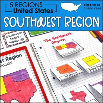
5 Regions of the United States | Southwest Region | US Regions
Your students will enjoy learning about the Southwest Region with this interactive packet. The hands-on approach to learning includes high-interest interactive notebook foldables, map booklet, memory match game, bulletin board, and unit test! Students will master the 5 regions of the United States in no time at all with this helpful resource!Click HERE to SAVE 20% with the complete U.S. Regions Resource Bundle.Please take a look at the preview above for a better understanding of the contents of
Grades:
3rd - 6th
Also included in: Regions of the United States Worksheets Maps & Activities 5 US Regions
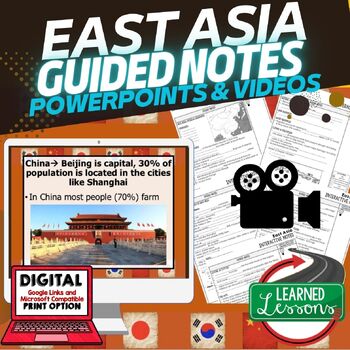
East Asia Guided Notes & PowerPoints World Geography Guided Notes
World Geography Guided Notes | Geography of East Asia Guided Notes and PowerPoints, Digital Distance Learning & Print covers physical geography of East Asia, Cultural Geography of East Asia, History of East Asia, Modern East Asia, & Facts about East Asia. World Geography Guided Notes, Interactive Notebook, Note Taking, PowerPoints, Anticipatory GuidesThese interactive guided notes and PowerPoints are great for the teacher input section of the lesson. Students can use these notes to com
Grades:
5th - 11th
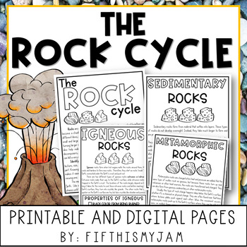
The Rock Cycle with Digital Interactive Slides
#bestsellerof2023 Help enhance student learning of the rock cycle! This 16-page packet contains a no-prep reading passage, several activities, words to know, and an assessment.This packet includes the following:Three Types of Rocks:Igneous, metamorphic, and sedimentary are included, as well as a passage about the rock cycle.Words to Know and Vocabulary Activity guide for students looking for the meaning of some of the larger scientific vocabulary with a few prominent words to define and consider
Subjects:
Grades:
3rd - 5th
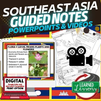
Southeast Asia Guided Notes & PowerPoints, World Geography Guided Notes
World Geography Guided Notes | Geography of Southeast Asia Guided Notes and PowerPoints, Digital Distance Learning & Print covers physical geography of Southeast Asia, Cultural Geography of Southeast Asia, History of Southeast Asia, Modern Southeast Asia, & Facts about Southeast Asia. World Geography Guided Notes, Interactive Notebook, Note Taking, PowerPoints, Anticipatory GuidesThese interactive guided notes and PowerPoints are great for the teacher input section of the lesson. Stude
Grades:
5th - 11th
Also included in: Southeast Asia BUNDLE, World Geography Bundle, Digital Learning & Print
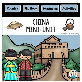
All About China Activities Mini-Unit Worksheets & Flipbook | China Country Study
This mini-unit is the perfect addition to accompany your unit on China!It includes the following activities:A Reading Passage that comes in full color and BWComprehension QuestionsA flipbook (6-pages)A Country Photo PosterThe 6-page flip book has activities with a map, culture, flag, food, and the Great Wall of China. Visual directions for making a flipbook is included.Flipbooks are fun and valuable learning tools that can be used in:✔Centers✔Station Work✔Interactive Notebooks✔Group Work✔Fun Pro
Grades:
2nd - 4th
Showing 1-24 of 2,427 results


