362 results
Common Core RH.9-10.7 printables
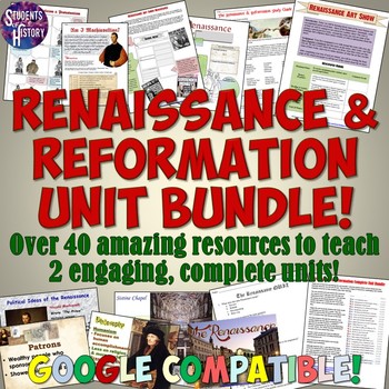
Renaissance and Reformation Unit Plan Bundle
This amazing, Renaissance and Reformation Complete Unit Bundle includes over a month of full lesson plans and activities for 2 complete units in World History! Each day is fully planned out for you with multiple activities and resources! All of the following TpT resources are included in this bundle:Renaissance & Reformation Interactive Notebook SetRenaissance & Reformation Google Drive Digital NotebookLeonardo da Vinci Reading and Interactive Notebook ActivityIntroduction to the Renais
Subjects:
Grades:
5th - 11th
Types:
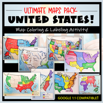
U.S. Maps & Geography- The Ultimate Label & Color Maps Pack! (American History)
This United States Ultimate Maps & Geography Pack includes eight different maps for your American History student explorers- Political Map, Physical Map, Native American Cultural Regions, 13 Colonies, Westward Expansion, 5 Regions, Civil War, and a World Map. These labeling and coloring activities are interactive, engaging, and ready to use- just print and copy! A Teacher’s Guide is provided, as well as options for use to fit your curriculum/lesson. You will also receive a completed, col
Grades:
3rd - 10th
Types:
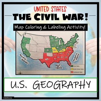
Civil War Map- Label and Color Activity!
This Civil War Map Activity is a great supplemental piece to a unit on the United States Civil War! Students will identify, label, and color the Union states, Border states, and Confederate states, and then color all three regions. Directions for labeling and coloring is provided. A completed and colored map is provided for reference, but this map can be completed using a textbook or online resource as well. This is a creative and engaging way of supplementing lessons on American History! The
Grades:
6th - 11th
Types:
CCSS:
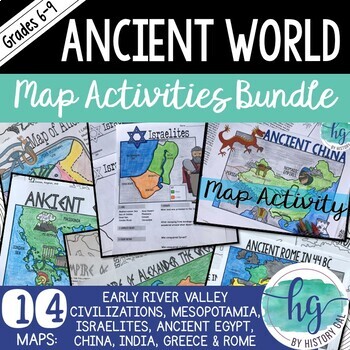
Ancient World Map Activities Bundle (Early River Valley Civs to Ancient Rome)
This bundle contains all of my print and digital map activities for the Ancient World. Each set has a contains different versions to help meet the needs of all of your students. The sets also include PowerPoints to help guide students through completing the map - a great tool if you are teaching without textbooks! I will add maps to this bundle as I create them. When new maps are added, the price will increase.Note: Only the Ancient Egypt, Ancient China, Ancient Greece, and Alexander the Great M
Subjects:
Grades:
6th - 9th
Types:
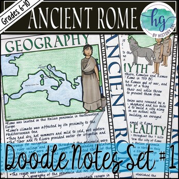
Ancient Rome Doodle Notes Set 1 for Geography and Founding of Rome
This Ancient Rome doodle notes set covers the geography of Italy, the impact of geography on Ancient Rome, the story of Romulus and Remus, Latin settlements, Etruscan rule, and the establishment of the Roman Republic. Students will enjoy coloring and doodling as they take notes to learn about how geography impacted Ancient Rome and about the founding of the city of Rome. What's included with the printed Doodle Notes:*Teacher directions and suggestions (3 pages)*Blank doodle notes for students to
Grades:
6th - 10th
Types:
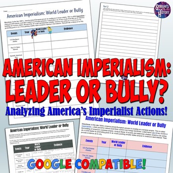
American Imperialism: World Leader or Bully Worksheet & Lesson Project
This higher-level activity has students thinking critically about 10 American actions during the Age of Imperialism. It includes both a worksheet and editable Google Docs version! Events covered include: The US purchase of AlaskaThe Annexation of HawaiiSpanish-American WarForaker ActPlatt AmendmentPhilippine-American WarOpen Door NotesGentleman’s Agreement of 1907Building of the Panama Canal Roosevelt CorollaryFor each event, students must determine whether they feel the US was acting like a "wo
Subjects:
Grades:
7th - 11th
Types:
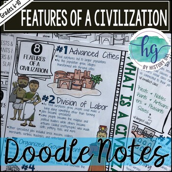
Features of a Civilization Doodle Notes and Digital Guided Notes
This doodle notes set covers eight features of a civilization including advanced cities, division of labor, organized government, complex religion, social classes, art & architecture, public works, and system of writing. It's a great lesson to use before teaching about the first Early River civilizations in Mesopotamia, Egypt, India, and China.What's included with the printed Doodle Notes:*Teacher directions and suggestions (3 pages, uneditable PDF)*Blank doodle notes for students to fill in
Grades:
6th - 10th
Types:
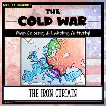
Cold War Map Activity: The Iron Curtain and Alliances (Color and Label!)
Don't just show your students a map of the Iron Curtain, N.A.T.O. and the Warsaw Pact, have them make one! Each student will make their own, personalized map of Europe during the Cold War, and enhance their knowledge of the Democratic and Communist alliances. They will label and color their blank map, complete a "Fast Facts" section, and quiz themselves with an "I Can" self-assessment. A completed map is included, and a link to Google Compatible directions, questions, and a sample map has also
Grades:
6th - 11th
Types:
Interactive Reading Notebook Fiction and Nonfiction Mega Bundle
Interactive Reading Notebook Fiction and Nonfiction Mega Bundle (Grades 5-12) A YEAR'S WORTH of activities: over 220 Common-Core aligned interactive reading foldable activities for secondary students. You do not have to use the Common Core State Standards to utilize this bundle! This download includes the following products:Interactive Notebook Reading Literature Bundle for ANY Novel or StoryInteractive Reading Notebook for Nonfiction Informational TextsInteractive Notebook Mini Books: Bundle of
Grades:
6th - 12th
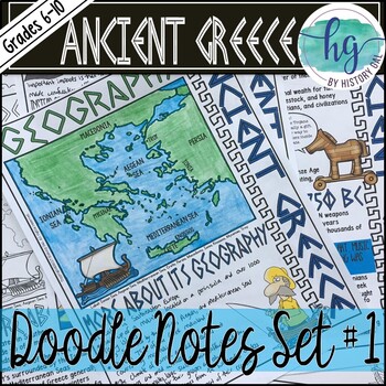
Ancient Greece Doodle Notes Set 1 for Geography and Early Greeks
This Ancient Greece doodle notes set covers the geography of Greece, impact of geography on Ancient Greece, the Minoans, the Mycenaeans, the Dorians and the Dark Age, and the end of the Dark Age with the Ionians. Students will enjoy coloring and doodling as they take notes to learn about how geography impacted Ancient Greece and about the early Greeks. What's included with the printed Doodle Notes:*Teacher directions and a list of the videos included the included PowerPoint (4 pages)*Blank doodl
Grades:
6th - 10th
Types:
Also included in: Ancient Greece Doodle Notes and Digital Guided Notes Bundle
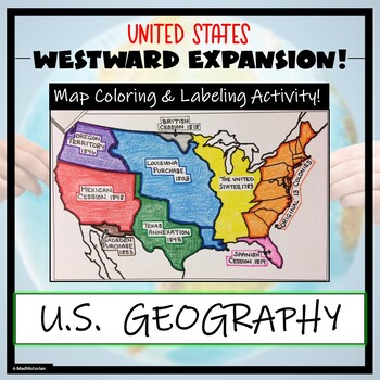
Westward Expansion Map Activity (Label and Color the Map!)
This US Geography Map Activity is a MUST for students who are learning about Westward Expansion! Students will identify, label, and color the various territories that were acquired by the United States to complete the borders that it has today. Directions for labeling and coloring are provided. A completed and colored map is provided for reference, but this map can be completed using a textbook or online resource as well. This is a creative and engaging way of supplementing lessons on geograph
Grades:
3rd - 11th
Types:
English Reading & Writing Bell Ringers Exit Slips Pack Vol 1
Common Core Reading and Writing Bell Ringers Exit Slips BUNDLE, Volume 1
This IS included in my growing bundle: ALL of My Bell Ringer and Exit Slip Resources.
Do you need a collection of ready-to-print bell ringers/exit slips that you can use all year long? Try my bundle of 155 unique activities that can be used more than once throughout the year. *Newly updated to include back-to-school icebreaker activities AND signs to hang on your bulletin board or other display to showcase student work. I
Grades:
6th - 11th
Types:
CCSS:
Also included in: Custom Bundle for Jen W.
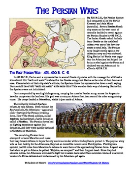
Persia War Reading for Ancient Greece: Worksheet & Comic Project
This Persian Wars download includes a reading, worksheet, and a comic project on the two wars between the Greek city-states and Persia between 500 - 479 BCE. The reading covers the entire and major battles, including Darius first invasion and the Battle of Marathon and continuing through the Battle of Thermopylae, Salamis, and Platea. Other vocabulary terms and people covered include hoplites, phalanx, the Ionian city-states, the Delian League, Themistocles, Leonidas, Xerxes, and more.Following
Grades:
5th - 11th
Types:
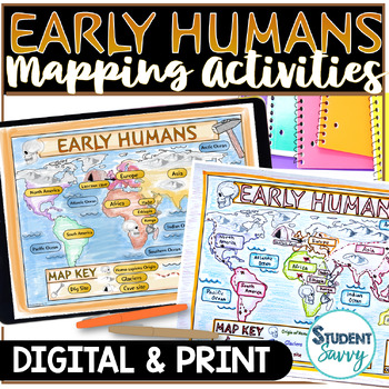
Early Humans Map Activity Stone Age Migration World Mapping Skills Google Slides
Engage your 6th grade and middle school students in exploring Early Human locations and landforms with interactive map activities, integrating geography and ancient history. This comprehensive resource includes Read and Learn Pages for in-depth knowledge of human migration. Choose between the printable PDF version with clear directions, two map variations, a labeling list, and an answer key, or the digital Google Slides version with draggable labels and editable Read and Learn pages.PRINT PDF ve
Grades:
5th - 8th
Types:
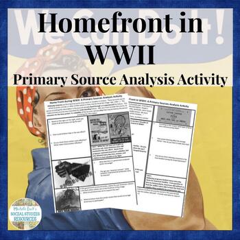
Home Front in WWII Primary Source Analysis Activity Handout US History WW2
Investigating the American Home front during WWII? Want to help students analyze primary sources to understand the different perspectives on life changes during America's involvement in WW2?This 2-page handout provides an assortment of quotes and images for students to analyze with guiding questions for a better understanding of the Home Front during WWII. Includes a wrap-up question in which students make comparisons to our modern cultural changes.Includes:2-page worksheetSkills Addressed:Prima
Grades:
7th - 12th, Higher Education
Types:
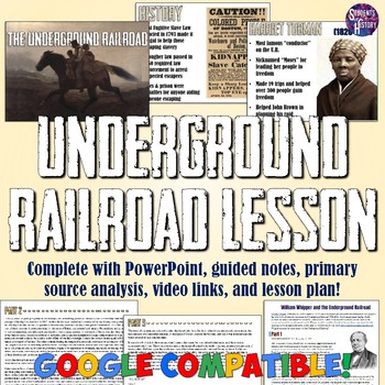
Underground Railroad Lesson: PowerPoint, Notes, Map, Worksheet, & Video
This super-engaging resource includes everything you need for a full lesson on the Underground Railroad! In this download you receive: A 15-slide PowerPoint overview of the Underground RailroadEditable Guided Notes sheet for students8 "magic Portrait" videos of key people students should knowA primary source letter about the Underground RailroadA jigsaw reading activity worksheet with answer keyEditable Google Doc version of the letter and jigsaw activity"Flipped Classroom" video of the entire p
Subjects:
Grades:
7th - 10th
Also included in: US History Part 1 PowerPoint and Guided Notes Bundle
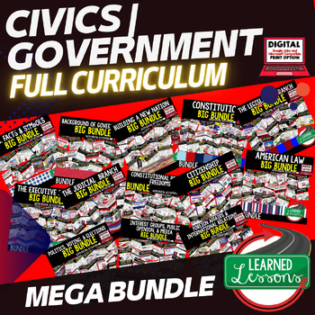
Civics Mega Bundle, Government MEGA BUNDLE (Civics & Government Curriculum)
This CIVICS and GOVERNMENT MEGA BUNDLE includes EVERYTHING you will need to plan for an engaging year in your CIVICS or GOVERNMENT classroom in PRINT & with GOOGLE LINKS! Students will explore Government and Civics concepts including U.S. Facts and Symbols, Background of Government, Types of Government, New Nation, The Constitution, Legislative Branch, Executive Branch, Judicial Branch, Constitutional Rights and Freedoms, Citizenship, American Law, Politics, Voting, Elections, Public Opinion
Subjects:
Grades:
7th - 12th
Types:
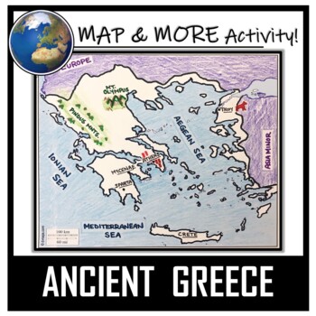
Ancient Greece Map Activity- Label and Color!
This Ancient Greece Map Coloring & Labeling Activity is a great resource to enhance your unit! Each student will make their own, personalized map of the Greek Empire, and learn about the geography and landmarks of the region. They will label and color their blank map, and answer follow-up questions related to the geography of Ancient Greece. Included is a 'Travel Brochure' project. It is a great way to connect this map activity to your lesson on Ancient Greece! In addition, this activity h
Grades:
5th - 10th
Types:
Also included in: Ancient Civilizations / World Maps BUNDLE- Color & Label Activities!
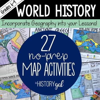
World History Map Activities Bundle for Ancient & Modern World Lessons
This bundle contains all of my map activities for World History and includes maps for ancient and modern World History. Print and digital versions are included with all map sets. I will add maps to this bundle as I create them. When new maps are added, the price will increase. Check out the previews of the map activities to see what is included with each map.What's Included with the Printed Versions of the map activities:*Blank map for students to label (uneditable PDF)*Coloring Page version for
Subjects:
Grades:
6th - 9th
Types:
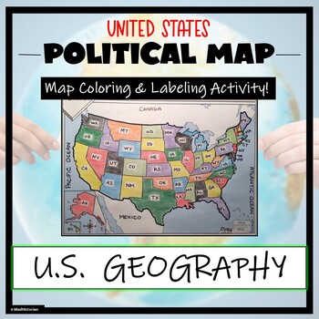
US Political Map Activity- Label and Color the 50 States!
This US Geography Map Activity is a MUST for students who are learning about the states! As a political map, they will label and color all 50 states of the United States of America, as well as surrounding areas. Directions and a key of the states are provided. A completed, colored map is provided for reference, but this map can be completed using a textbook or online resource as well. This is a creative and engaging way of supplementing lessons on geography, civics, or the history of the Unite
Grades:
3rd - 11th
Types:
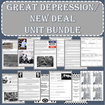
Great Depression - New Deal UNIT BUNDLE (Print and Digital Formats)
Increase student growth and engagement while saving time, energy, and money! This bundle has everything you need and more! The resources are available in PDF and Google Docs formats! It is perfect for textbook free classrooms or for distance learning. Just print and go or use the digital format to reach your learners virtually!
Subjects:
Grades:
6th - 10th
Types:
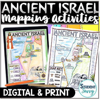
Ancient Israel Map Activity World Mapping Project Worksheet Geography History
Engage your 6th grade and middle school students while exploring Ancient Israel regions, cities, seas, and other landforms with interactive map activities, integrating geography and ancient history. This comprehensive resource includes Read and Learn Pages for in-depth knowledge of locations. Choose between the printable PDF version with clear directions, two map variations, a labeling list, and an answer key, or the digital Google Slides version with draggable labels and editable Read and Learn
Grades:
5th - 8th
Types:
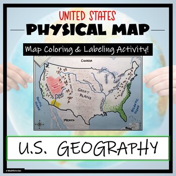
US Physical Map Activity- Label and Color US Physical Features!
This US Geography Map Activity is a MUST for students who are learning about the physical features of the United States! Students will identify, label, and color important geographic elements throughout the country. Directions for labeling and coloring is provided. A completed and colored map is provided for reference, but this map can be completed using a textbook or online resource as well. This is a creative and engaging way of supplementing lessons on geography, topography, and the history
Grades:
Not Grade Specific
Types:
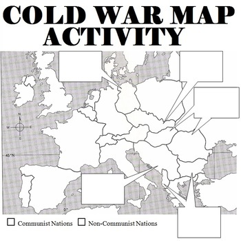
Cold War Map Activity
Cold War Map of 1950s Europe and activity. Students are asked to label countries, answer a few questions, and asked to describe how countries fell to communism in the boxes. Students can look up the information in a textbook, online, or use the provided information sheet.Recently added: A second world map to show aligned and non-aligned counties and five questions.All items are editable and answer keys are included.Also available bundled together along with:Hitler's Rise to PowerThe Monuments
Subjects:
Grades:
6th - 12th
Types:
CCSS:
Also included in: World War II Bundle
Showing 1-24 of 362 results

