3,651 results
8th grade geography projects
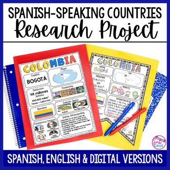
Spanish Speaking Countries Project Research a Country with Google Slides Digital
This Spanish-Speaking country project is an organized and efficient way for students to research Spanish-speaking countries. The templates are in both English and Spanish and can be completed digitally or handwritten. Includes digital templates for PowerPoint and Google Slides.*can easily be adapted for other languages, geography, or social studies classesThis project to create an infographic for a country includes:-Templates in 3 different designs-English templates-Spanish templates-Completed
Subjects:
Grades:
6th - 12th
Types:
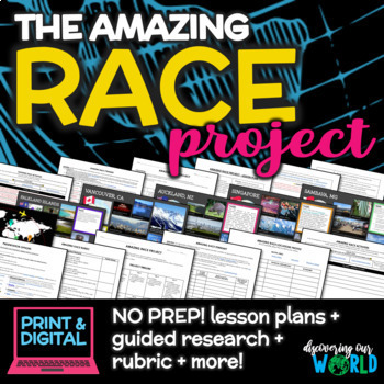
Geography Adventure: Amazing Race Project for Middle School (End-of-Year)
**Embark on an Exciting Journey Around the World with "The Amazing Race Geography Project"!** Are you ready for the ultimate adventure? Step into the shoes of a globe-trotting explorer and dive into the rich tapestry of our planet's geography, culture, and diversity! In this engaging end-of-the-year project, students will embark on a thrilling journey to explore fascinating locations from every corner of the globe. **Research, Discover, Create!** Students will choose captivating locations on
Grades:
5th - 9th
Also included in: Middle School World Cultures & Geography Course
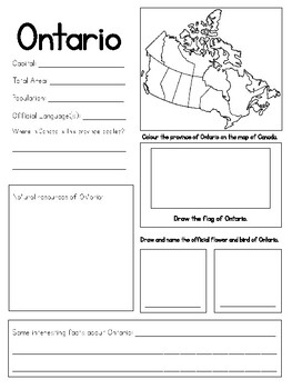
Provinces and Territories of Canada Research Project
Provinces and Territories of Canada Research ProjectUse these blank research templates on the provinces and territories of Canada to have your students participate in the inquiry process in learning about their Country! Also included is a reading that explains what a province and territory is, and the difference between both.The project has students researching:-Important information about each province and territory-Talk about the location of the province and territory-Research the official sym
Grades:
3rd - 8th
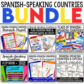
Spanish Speaking Countries BUNDLE Project Maps Flip Book Quizzes + DIGITAL
This money-saving bundle has everything you need to teach the Spanish-speaking countries, their locations, and capitals! Includes maps, quizzes, project, activities, and more! Save over 30% on this bundle of the following items:Spanish-Speaking Countries Flip BookNo cut, no waste, 6 page / 3 pieces of paper printable flip bookDigital flip book in Google Slides for paperless or distance learningWestern Europe map to label SpainWest Africa map to label Equatorial GuineaCentral America / North Am
Subjects:
Grades:
6th - 12th
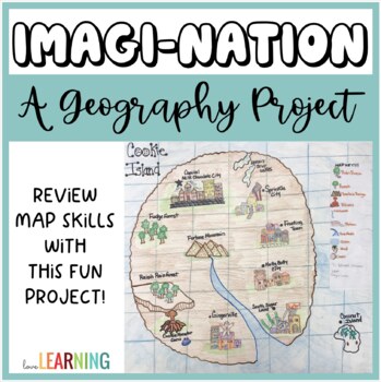
Geography Project: Create Your Own Nation and Map Skills!
This Geography Project is the perfect end of year activity or ANY TIME activity! Students will review and practice a variety of map skills as they create their own nations! It is a fun alternative to a Geography worksheet as students have the opportunity practice a variety of map skills through this project!This Geography Project Includes:Map Skills Review PowerPoint LessonGeographic Features and Landforms ReviewGuided Notes that Follow Along with the LessonImagi-Nation Project Directions and Ro
Geography Unit for Maps, 5 Themes of Geography, Map Reading, Latitude Longitude
In this Geography Unit bundle, you receive 12 hands-on, engaging, and effective resources to teach the 5 themes of geography, map reading, map skills, and geography. This geography bundle was created to teach the whole range of geography: students learn how to read all different kinds of maps (climate maps, thematic maps, road maps), the five themes of geography, how to read latitude and longitude, and the locations of places all over the world! This bundle is priced to save you over 20% inste
Grades:
5th - 8th
Types:
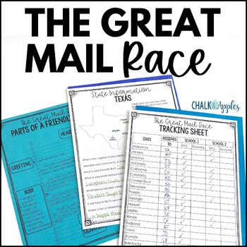
Friendly Letter Writing Paper & Template - Great Mail Race How to Write a Letter
The Great Mail Race is an excellent way for students to learn letter writing, geography, research skills, data collection, and graphing skills, and much more! Students send letters and questionnaires to schools in all 50 states. You can use the responses any way you want - mark the schools on a map, graph data from their surveys, etc. This packet has everything you need but the stamps and envelopes! Includes:Teacher instructions for the projectEditable introductory letter Class questionnaireStud
Subjects:
Grades:
2nd - 8th
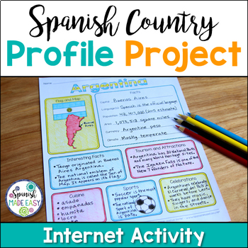
Spanish Country Profile Project
This is a country profile project over the 21 Spanish-speaking countries. Students will research important geographical and cultural facts about each country. This activity includes a blank country profile template, a template for each country, a list of Spanish-speaking countries, and a grading rubric in both English and Spanish. Research topics include: Countries flag, map, capital, language(s), population, area, currency, climate, interesting facts, tourism and attractions, cuisine, sports, a
Subjects:
Grades:
2nd - 12th
Types:
Also included in: Spanish Countries and Capitals Geography Bundle
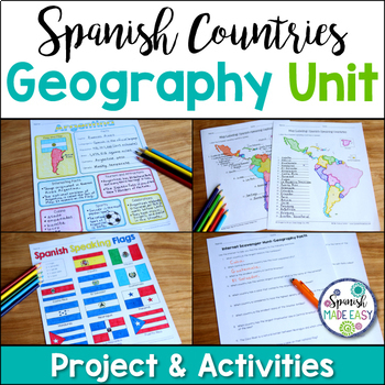
Spanish Countries and Capitals Geography Bundle
This is a Geography Unit with 4 resources over the 21 Spanish-Speaking Countries and Capitals. In this bundle you will receive a Spanish-speaking country profile project, 2 map labeling activities, a matching quiz activity, an internet scavenger hunt, and a 2 page coloring activity with the 21 flags of the Spanish-speaking world. Answer keys and examples are included. Purchase this bundle and save over 25% off the following resources:Spanish-Speaking Country Profile ProjectSpanish-Speaking Count
Subjects:
Grades:
6th - 12th
Types:
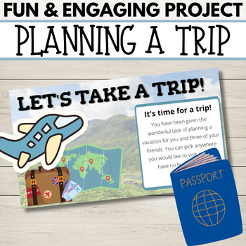
Fun End of Year Activity - Travel Project - Plan a Trip!
This is the perfect project to do this year - especially before a break or just for fun! In this project, students will apply personal finance skills to plan a 3-day trip for themselves and a few friends. They must create a budget and plan three days' worth of food and activities. It is a whole lot of fun and they can have so much ownership and creativity. It works great to display Math, ELA, and Social Studies skills. They will have to research customs, and locations and add, multiply, and divi
Subjects:
Grades:
4th - 10th
Types:
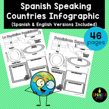
Spanish Speaking Countries Infographic (Los paises hispanohablantes)
Spanish Speaking Countries Infographic (Inforgrafica de los paises hispanohablantes) This products would be great for Spanish class, Latin American History or Spanish Heritage class, or a Spanish or Dual Immersion class. You could use an infographic about each country all throughout the school year or have students do a research project and have 1-2 students do each country and present to the class. This could also be an independent research center for grades 2-6 in the Spanish Immersion setting
Subjects:
Grades:
2nd - 12th
Types:
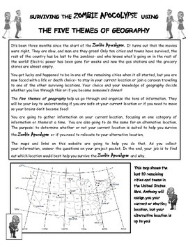
Surviving the Zombie Apocalypse using the Five Themes of Geography!
Students will use a website created for this project to analyze maps and gather information about different locations. The students will then interpret that information using the 5 Themes of Geography to decide if the locations benefit them during the Zombie Apocalypse. The students will finish off their research with a short essay explaining their choices and how the information they gathered from the maps helped them make their decision.This is a great way to get students to use their mapping
World Geography Curriculum Editable and Differentiated to Support All Students
This is a complete full year geography curriculum for middle and high school. Be prepared to teach World Geography with these projects, activities, and assessments that have been designed to support ALL students in World Geography classes! These resources are no-prep and great for students of multiple levels. This geography curriculum is editable, digital, and printable. This geography curriculum provides everything you need to make sure all students thrive in your classroom from scaffolded teac
Grades:
7th - 10th
Five Themes of Geography Research Project PBL | 5 Themes City Mosaic | Microsoft
Challenge your class to research & showcase the “5 Themes of Geography” for a major world city. Creating mosaics is a fun way to assess student learning while letting them show off their creativity. First, they research their city’s location, place, region, movement, and human-environment interactions. Then, they design colorful mosaics with images & descriptions featuring their cities. A rubric sets clear expectations for your students & makes grading easy! Your purchase has editabl
Subjects:
Grades:
5th - 12th
CCSS:
Travel Bundle (Passports, Boarding Passes, Travel Journals)
Although many of us wish we could pack up and travel the world, that's not always realistic (especially with a classroom full of kiddos). We may not be able to take our kids on a tour of the world but thanks to technology and so many incredible resources, we can BRING THE WORLD INTO OUR CLASSROOM.
Do you research different countries or cultures with your students? Do you go on virtual classroom field trips? Are you looking for a simple yet engaging way to teach your kids about global citizensh
Grades:
PreK - 8th
Types:
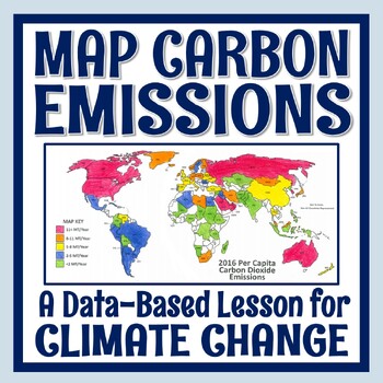
Climate Change Activity Mapping Carbon Emissions NGSS MS-ESS3-5 ESS3-4
Students use real data to color-code a map of 68 countries based on their per capita carbon emissions. In this activity, students will:READ a 1-page article about greenhouse gases, carbon dioxide, what per capita means, and the activity directions. CONSTRUCT a World Map by attaching 2 provided pages (it's easy!).COLOR CODE countries on the map according to their per capita carbon emissions. ANSWER 11 analysis questions focusing on the greenhouse effect, sources of carbon emissions, and how de
Subjects:
Grades:
7th - 10th
Types:
NGSS:
MS-ESS3-5
, MS-ESS3-4
, HS-ESS3-5
, HS-ESS3-4
Also included in: Global Warming Climate Change Activity Bundle NGSS MS-ESS3-5 ESS3-4
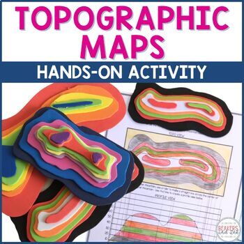
Topographic Map Project | Topographic Map Activity
Teaching topographic maps is a breeze with this hands-on activity! This topographic map activity will help your students to understand the connection between contour lines, the profile view and three dimensional views. In this topographic map activity, students will draw contour lines to create a topographic map. Then they will use inexpensive craft foam to create a three dimensional model and a profile view. Templates are provided to help differentiate for students of varying abilities. See t
Subjects:
Grades:
4th - 8th
Types:
NGSS:
4-ESS2-2
Also included in: Topographic Map Activity and Topographic Map Worksheets Bundle
End of Year Project Plan a Road Trip Digital with Google Slides™
This no-prep, engaging geography project challenges your students to plan and document a road trip to five park destinations across the United States. This is an excellent project for the end of the school year.This project-based learning opportunity for your students features real-world connections and opportunities for student choice. Students need access to the internet to complete this project.TASKS INCLUDED IN THIS PROJECTYour students will complete the entire project on Google Slides™. It
Grades:
6th - 8th
Types:
My World Culture and Geography Project | FUN Cultural PBL Activity | Microsoft
Students showcase their own unique cultures and geography with this fun “My World” project. First, a brainstorm activity challenges them to consider how cultural influences and geographical factors have shaped their lives. Then, they design creative and informative posters all about their WORLDS! Guided slides help you explain the project and a fill-in rubric makes grading easy. This project-based learning activity promotes cross-cultural understanding and students love decorating their globes w
Grades:
4th - 10th
CCSS:
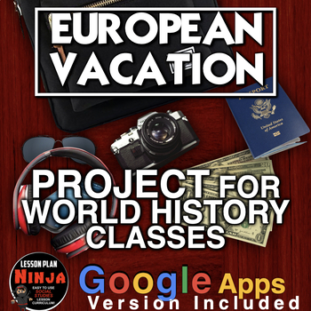
European Vacation Project - Perfect for end of the Year! + Digital Resource
European Vacation Project is a fun way for World History students to sum up their European history by traveling to Europe! This is a wonderful project to end the year in World History class - one of my favorites! Students research a summer trip to Europe and present their fun to the class. You will need online access to computers, iPads etc. Students can use PowerPoint, Google slides or any other slideshow app. Rubric, PowerPoint introduction, and warm-up questions included.** Includes Google
Subjects:
Grades:
7th - 12th, Adult Education
Types:
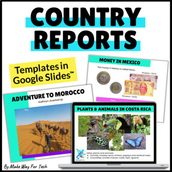
Country Research Project | Country Reports Graphic Organizer Template Digital
Choose from 60 beautifully designed (and EDITABLE) country research report slides for your country writing projects. Create the exact presentation you want for your students but customizing any of the slides to fit your needs. Students will use the slides to share all about a country they researched while working with all sorts of text features (headings, table of contents, photos, captions, fun facts, bold words, glossary, and more).Want more report templates for the year? Click here for the BU
Subjects:
Grades:
2nd - 8th
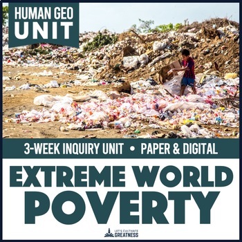
Extreme World Poverty Living on One Dollar Unit | Human World Geography
Explore extreme world poverty using a variety of sources with this eye-opening inquiry unit that will leave your students feeling thankful, aware, and empowered to create change.This unit is perfect for your Human Geography or Current or Contemporary Global Issues course.All student resources come in both printable PDF and editable, digital Google files.Almost half of the world lives on $5.50 a day or less. At least 70% of all humans live on $10 or less. While those are shocking, the most extrem
Grades:
8th - 12th
Types:
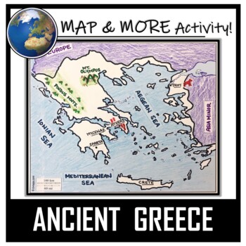
Ancient Greece Map Activity- Label and Color!
This Ancient Greece Map Coloring & Labeling Activity is a great resource to enhance your unit! Each student will make their own, personalized map of the Greek Empire, and learn about the geography and landmarks of the region. They will label and color their blank map, and answer follow-up questions related to the geography of Ancient Greece. Included is a 'Travel Brochure' project. It is a great way to connect this map activity to your lesson on Ancient Greece! In addition, this activity h
Grades:
5th - 10th
Types:
Also included in: Ancient Civilizations / World Maps BUNDLE- Color & Label Activities!
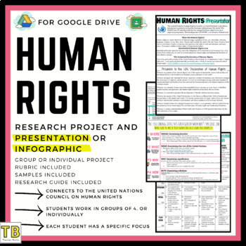
Human Rights Violations Research Project (Presentation or Infographic)
In this project, students will review the United Nations Universal Declaration of Human Rights to research a country's specific human rights violation. Students will conduct research using Human Rights Watch and Amnesty International to create a presentation or an infographic that reviews:Location of where the violation is occurringThe specific violationThe role of the United NationsWhy is this occurringThe significanceSolutions➡️The presentation is designed to be a group project. However, it c
Grades:
8th - 12th
CCSS:
Showing 1-24 of 3,651 results


