11,152 results
8th grade geography homework
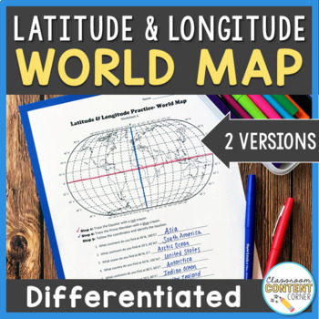
Latitude and Longitude Worksheet | Differentiated Activity| World Map
Students will practice following latitude and longitude coordinates to identify continents and oceans on a world map. This activity comes with 2 differentiated versions to meet your students' needs! Worksheet A has no labels, so students can practice identifying continents, oceans, and 2 (easily identifiable) countries as they follow the Latitude and Longitude coordinates! Worksheet B is similar, and perfect for ELL's or struggling learners! The map on this version is labeled, so students can re
Subjects:
Grades:
4th - 8th
Types:
Also included in: Latitude and Longitude ACTIVITY BUNDLE!
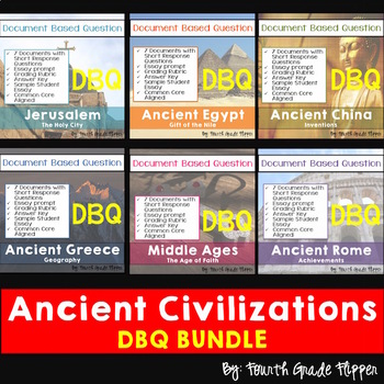
DBQ Bundle of SIX Ancient History Document Based Questions
*BEST SELLER BUNDLE*This is a set of six Ancient History DBQs that are also offered separately for $4.00 each. Buy the set and save versus purchasing them individually. These DBQs address the Common Core State Standards. They have a page outlining the English Language Arts/History/Social Studies grades 6-8, 9-10, and 11-12 CCSS that they address. The Document Based Questions (DBQs) were created for 6th Grade World History. It could also be used in 9th grade Global Studies/World History. This
Grades:
5th - 10th
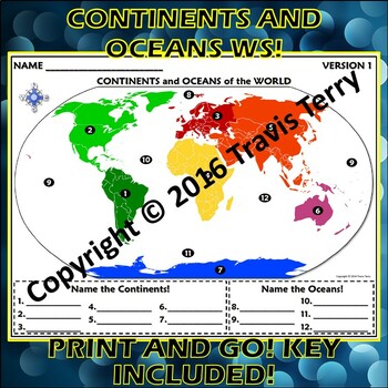
Worksheet: Continents and Oceans of the World
Do you know the continents and oceans of the world? Many of my students that are coming into 6th grade don't! Holy cow! So, I made up this review/quiz that I could give them throughout the year. I give this out during the unit in which I teach Plate Tectonics. Why? Because the majority of the MAJOR tectonic plates are named after the continents! Even after I point this out to students, they have trouble making the connection! It does help out most of the students, though. :-)There are THREE VERS
Subjects:
Grades:
5th - 9th
Types:
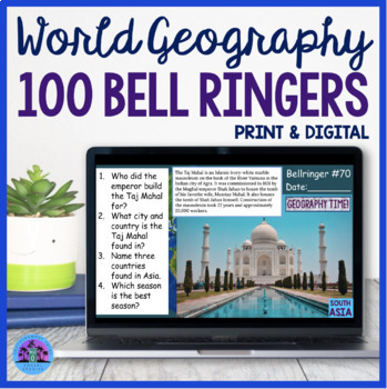
100 Geography Bell Ringers World Geography Bellwork
Are you looking for a way to get students engaged and focused right when they come into class each day? These 100 World Geography Bellringers will reinforce map skills, introduce geographic locations, and review various countries landforms. The questions are also designed to provoke student thought and encourage class discussions.This resource includes 100 Google Slides, directions for implementation, and two worksheet options for students to utilize. There is a print and digital option and the
Grades:
7th - 10th
Types:
Also included in: World Geography Worksheets Activities Bundle
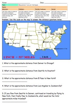
Map Scale (Measuring and Drawing)
There documents require students to use their understanding of map scales to measure distances on a map and to add destinations on a map.
There are 3 documents that use map scale understanding to measure distances across the United States.
2 documents require students to construct their own map using their knowledge of map scales.
Generally I will teach the core knowledge of the benchmark then use one page as classwork, one page as homework, and one page for an assessment.
Subjects:
Grades:
3rd - 8th
Types:
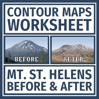
Simple Topographic and Contour Maps Worksheet Mount St. Helens
Earth's Changing Surface: Practice reading contour maps with a REAL LIFE volcano example! Supports NGSS Earth Science MS-ESS3-2 and MS-ESS2-2.In this activity, students are given a topographic map of Mt. St. Helens BEFORE and AFTER it erupted. Students analyze the maps for contour intervals, elevation, and how the volcano changed the topography of the mountain.This document has some companion resources:Mt. St. Helens Reading and QuestionsTopographic Maps Practice Contour Maps QuizTeacher Note
Grades:
6th - 8th
Types:
NGSS:
MS-ESS2-3
, MS-ESS3-2
, MS-ESS2-2
, MS-ESS2-1
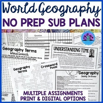
No Prep Sub Plans For Any Geography Class
These No Prep Emergency Sub Plans will work at any time during the year for any middle school or high school Geography class. You may keep a copy of the activities in your sub folder or store them on your Google Drive so you will not have to worry about sub plans when the day suddenly rolls around. This resource includes multiple assignments that are easy to implement, self-explanatory, and perfect for students to work on independently or with a partner when you are gone. Answer keys are include
Subjects:
Grades:
7th - 10th
Types:
Also included in: World Geography Worksheets Activities Bundle
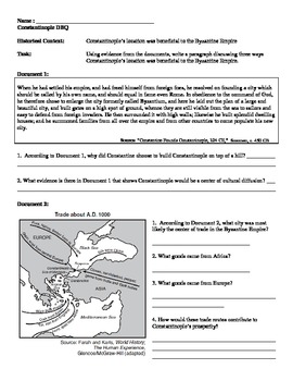
Byzantine Empire - Constantinople Mini DBQ
Resource includes four primary and secondary sources about the role of Constantinople in the Byzantine Empire. The emphasis is on how Constantinople's location made a strategic military and economic asset to the Byzantine Empire. Include a page for brainstorming, outlining, and sentence starters for writing. This resource was originally taught to a 9th grade world history course, and is great for students who are just starting to write DBQs.
Subjects:
Grades:
7th - 10th
Types:
Central America and the Caribbean Mapping Activity
This product is a mapping activity on the region of Central America and the Caribbean. Students will label and color 26 different countries and territories as well as draw and label major physical features. When students have completed the map they will then answer 10 questions based on their map.This product also contains a blackline political maps of the region. I typically make the map a 11x17 making it easier for students to label countries and physical features.This is a rigorous map projec
Grades:
6th - 12th
Types:
Also included in: Geography Mapping Activities BUNDLE
Down to Earth with Zac Efron (BUNDLE of All 8 Episodes)
The docuseries, Down to Earth with Zac Efron, follows Efron and Darin Olien around the world as they examine eco-friendly and sustainable ways to live and help our Earth. Olien, a wellness expert, also focuses on ways we can improve our own health. This bundle includes all eight episodes from the series, but you are welcome to only purchase one or a few of the episodes if you are not interested in the bundle. You may see a preview for each lesson by clicking on the individual previews above.Th
Subjects:
Grades:
7th - 12th
Types:
Latin America Mapping Activity
This product is a mapping activity on the region of Latin America. Students will label and color 24 different Latin American Nations as well as draw and label major physical features. When students have completed the map they will then answer 9 questions based on their map.This product also contains a blackline political map of Latin America. I typically make the map a 11x17 making it easier for students to label countries and physical features.This is a rigorous map project that makes the stude
Grades:
6th - 12th
Types:
Also included in: Geography Mapping Activities BUNDLE
GEOGRAPHY | USA & World Maps | 135 Map Labeling Tasks (Gr. 3-7)
Geography Maps | USA & World Maps | 135 Map Labeling Tasks (Gr. 3-7). With more labeling than a box of fancy fireworks, these map worksheets bring the world to your classroom. Use map labeling for morning work, homework, or unit transitions. Students learn basic spatial locations of American states, countries, regions, and cities. Worksheets work nicely with atlas or internet maps.This listing is part of the larger Geography Bundle: Maps, Questions, Labeling. About the collection:Maps were
Grades:
3rd - 8th
Types:
Also included in: ELA Bundle (4-6th)
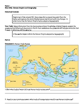
Roman Empire - Ancient Rome Geography Mini DBQ
Resource includes four primary and secondary sources about the role of geography in the Roman Empire. The emphasis is on how Rome adapted to its geography to become an economic and military powerhouse. Includes a resource for outlining and sentence starters for writing. This resource was originally taught to a 9th grade world history course, and is great for students who are just starting to write DBQs.
Subjects:
Grades:
6th - 12th
Types:
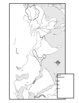
Ancient River Valley Civilizations Mapping Activity Worksheet
This mapping activity is on the Ancient River Valley Civilizations. Ancient River Valley Civilizations Mapping Activity includes explicit instructions on how to complete the map as well as questions based on the map along with knowledge based questions Ancient River Valley Civilizations.Students will label and color different aspects of Ancient River Valley Civilizations such as; cities, seas, important physical features and shade the area for each of the four main River Civilizations. This map
Subjects:
Grades:
6th - 12th
Types:
Also included in: Historical Mapping Activities BUNDLE
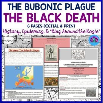
The Bubonic Plague - The Black Death - History, Epidemics, Ring Around the Rosie
The Bubonic Plague... the Black Death... Students always love discussing this topic. Here is a fascinating way to cover the history surrounding this terrible epidemic that struck Europe in the 1500s! ✺Your purchase includes a three page handout that discusses the outbreak of the bubonic plague, other world epidemics, and the possible origins of the nursery rhyme “Ring Around the Rosie.” ➤There is a 25 question worksheet that goes with the handout. There is also a 12 question worksheet that goes
Subjects:
Grades:
7th - 11th
Types:
Also included in: The Geography of Europe ❘ Europe Geography Worksheet Bundle
What Country Is This? Short Geography, History, Economics Readings CCSS 6-8
Expand students' global knowledge with high-interest paragraphs that engage students with fascinating facts! No prep for bell work or many more uses. What you get:25 one-page handouts. Countries featured are those students may not be familiar with in Africa, Asia, Latin America, and Europe. See Preview for list.2-3 questions per passage that cover CCSStandards for SS/History. Main ideas, fact/opinion, using visual information and more. One concept covered is why some nations are so poor. 9
Subjects:
Grades:
6th - 8th, Adult Education
Types:
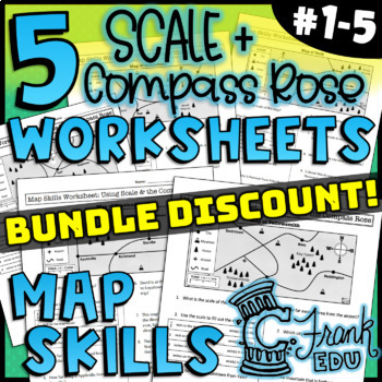
BUNDLE: 5 Map Skills Worksheets: Scale & Compass Rose (NO PREP) #1-5
5 WORKSHEET BUNDLE! ANSWER KEYS INCLUDED!Looking to track student progress with map skills? These worksheets not only review crucial map comprehension skills, the accompanying answer keys and data tracker allow teachers to see which specific skills students have mastered or which may be in need of review.Highlights:High Quality Map: The map on this worksheet has a high resolution and well-defined icons. The map was designed and created by C Frank Education.10 Map Comprehension QuestionsPractice
Subjects:
Grades:
5th - 8th
Types:
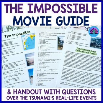
The Impossible Movie Guide Worksheet and Handout
This worksheet is an excellent resource to utilize when showing the powerful film The Impossible. It includes 20 multiple choice questions that go in order of the film, 14 multiple choice questions over a reading passage that discusses the tsunami and the family the film is based on, and 5 discussion/analysis short answer questions. Answer key included. Related Products☀ History Movie Big Bundle☀ U.S. History Movie Bundle - Perfect for a History Through Film Course☀ World Geography Movie Bundle☀
Grades:
7th - 12th
Types:
Also included in: World Geography Movie Bundle
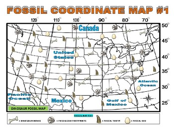
Dinosaur / Fossil Maps - Coordinate / Latitude / Longitude (Science / Geography)
FOSSIL MAPS SETGRADES: 5-9SUBJECTS: SCIENCE & SOCIAL STUDIESThis assignment is great as an introduction to mapping with latitude and longitude coordinates, as a quick refresher lesson, extra credit, for early finishers and as a connector between geography and science. This assignment can also be paired with Daily Science Articles on fossils & dinosaurs found in my TPT store which will make for ideal sub/emergency plans.Note: I have two similar assignments available on my site with latit
Subjects:
Grades:
5th - 9th
Types:
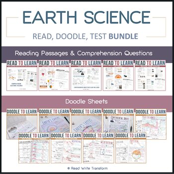
Earth Science READ, DOODLE, & TEST bundle
This bundle offers reading passages on various earth science topics. Each reading passage is paired with a doodle sheet so students can take notes in an effective manner. The comprehension questions can be used to test students’ knowledge of the topics (i.e., as a quiz or test). Topics Covered: Earth’s Layers Major Landforms Theory of Continental Drift Theory of Plate Tectonics Weathering, Erosion, & Deposition Included in your Purchase: 19 pages of reading passages: It comes in black-and-wh
Subjects:
Grades:
4th - 8th
Types:
United States Capital Washington DC Reading Comprehension Worksheet Bundle
Help your students learn about America's capital city with this reading comprehension bundle. It features several articles with questions about Washington, DC. (listed below). Each product has a color and black and white version, as well as a key. The preview and individual listings have more information and images. The ZIP file has a PDF student version for posting on personal sites, such as Google classroom or Canvas, or sending to students through email for distance learning. Please do
Subjects:
Grades:
4th - 8th
Types:
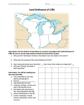
Land & Northwest Ordinances of 1785-87 / "Make Your Own Township" Simulation
This is a fantastic PDF handout to use for teaching the Land Ordinance of 1785 and the Northwest Ordinance of 1787. Students will answer fundamental questions on each act. They will then divide up the Northwest Territory into townships. They will name a township of their own, add dimensions, divide up the land into individual plots, and add homes, crop fields, churches, businesses, and a public school. On the back, students will answer more fundamental questions before creating their own "state
Grades:
5th - 12th
Types:
Also included in: 1st Semester: American Colonies to the War of 1812 Bundle
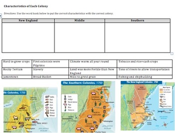
Compare&Contrast 13 Colonies (New England, Southern, & Middle) Pamphlet Project
This is an amazing lesson/project to help students differentiate between the 3 groups of colonies--New England, Middle, and Southern. Student's final project will be a pamphlet where each fold explains a different group of colonies.
Included in this lesson:
1) Do now--naming the 13 colonies on a map, latitude and longitude fill in the blank, and a determining century question.
2) Graphic organizer where students have to put 12 different characteristics into the correct box (New England, South
Grades:
6th - 12th
Types:
CCSS:
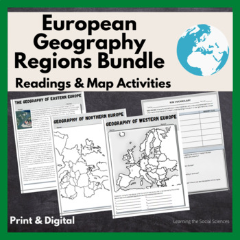
European Regional Geography Bundle Readings & Map Activities: Print & Digital
The readings explain the major geographical and cultural items of Northern, Eastern, Southern, and Western Europe.Each region comes with two map activities, one where they simply list the countries that are numbered on a map (used during distance learning) and another one where they color and label everything.The link to Google Versions is in the key section on the Microsoft Doc & PDF version.Multiple Editable Formats: I have it in multiple formats so you can utilize a version that works for
Grades:
7th - 12th
Types:
Showing 1-24 of 11,152 results


