1,770 results
8th grade geography independent work packets
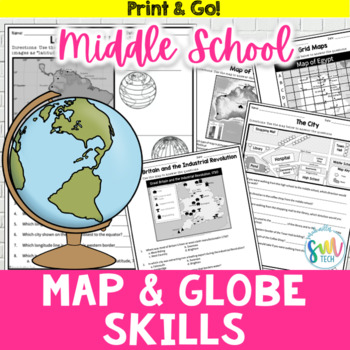
Map and Globe Skills Worksheets (6th, 7th, 8th Grades)
Your students will love reviewing map and globe skills with this engaging, no prep worksheet packet! It's great to use during the back-to-school weeks. Plus, it’s so easy to use that you can even leave it for sub plans or homework packets!Resource Includes: 12 worksheets & answer keysCardinal and intermediate directionslatitude and longitudegrid maps: reading & creatingphysical maps: reading & drawing conclusionsgraphic scales: to determine distancesmap keys: to acquire informationAn
Subjects:
Grades:
5th - 8th
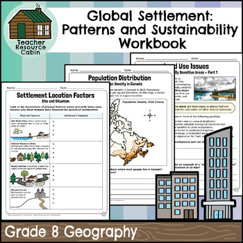
Global Settlement Patterns and Sustainability Workbook (Grade 8 Geography)
This workbook covers the Grade 8 Global Settlement: Patterns and Sustainability unit in the Ontario Geography curriculum.In this workbook, students will learn about the fundamental concepts of geography, including "What is Geography?" and "Why Study Geography?" These foundational questions lead to an exploration of different types of settlements, such as urban, rural, and suburban areas, and the factors influencing their location. The workbook delves into land use, examining various types and is
Subjects:
Grades:
8th
Also included in: MEGA BUNDLE: Grade 8 Ontario History and Geography Full Units
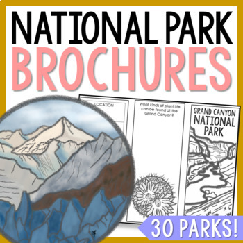
NATIONAL PARK Research Projects | USA American Landmarks Report Activities
This bundle of 30 national park brochure projects is a fantastic way for your students to explore a huge variety of landscapes across North America. Each no-prep activity can be completed in a few different ways. You can provide your students with the information to fill out their brochures, or have them find the information through Internet research. If your students are inexperienced with Internet research, guide them through the process by projecting a search that you lead. NPS.gov and Britta
Grades:
3rd - 8th
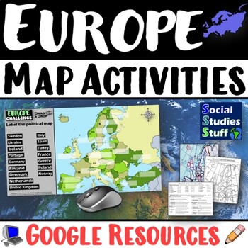
Geography of Europe Map Practice Activities | Print and Digital | Google
End the cycle of bored students copying from books to label maps! Your classes think critically with these digital, interactive, geography activities. First, students answer questions about Europe by analyzing various physical & political maps of the region. Then, a drag & drop challenge assesses their learning of the locations. This resource also includes a printable worksheet that takes labeling maps to the next level! They create a map using only absolute & relative location clues
Subjects:
Grades:
5th - 12th
CCSS:
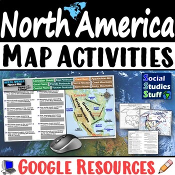
Geography of North America Map Practice Activities | USA Canada Mexico | Google
End the cycle of bored students copying from books to label maps! Your classes think critically with these digital, interactive, geography activities. First, students answer questions about North America by analyzing various physical & political maps of the region. Then, a drag & drop challenge assesses their learning of the locations. This resource also includes a printable worksheet that takes labeling maps to the next level! They create a map of the United States, Canada, and Mexico u
Subjects:
Grades:
5th - 12th
CCSS:
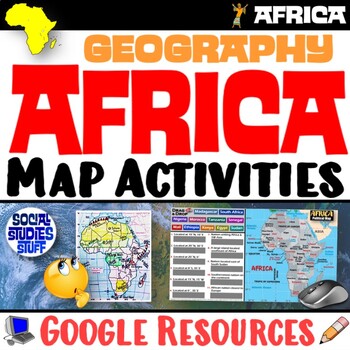
Geography of Africa Map Practice Activities | Print and Digital | Google
End the cycle of bored students copying from books to label maps! Your classes think critically with these digital, interactive, geography activities. First, students answer questions about Africa by analyzing various physical & political maps of the region. Then, a drag & drop challenge assesses their learning of the locations. This resource also includes a printable worksheet that takes labeling maps to the next level! They create a map using only absolute & relative location clues
Subjects:
Grades:
5th - 12th
CCSS:
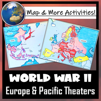
World War II: Map Coloring & Labeling Activities- Europe & Pacific Theaters!
This World War II Map Activity includes two map activities that include blank maps, student direction sheets, follow-up map tasks, and completed sample maps to use as reference. One map activity focuses on Axis Expansion in EUROPE and one on Axis Expansion in ASIA (The Pacific). They can be used with many different age groups, learning styles, and independently- great addition to your WWII unit!**Note: These maps focus on the peak of Axis power/control during WWII. Please see the completed ma
Grades:
5th - 10th
Also included in: US History / American History BIG BUNDLE of Resources! NO-PREP!
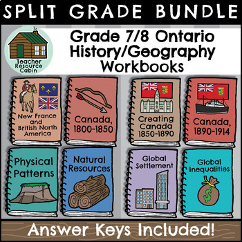
Grade 7/8 History & Geography Workbooks (Ontario Curriculum)
This BUNDLE contains FOUR History and FOUR Geography workbooks for Grade 7/8 students. Each workbook meets the Ontario Curriculum expectations for an ENTIRE Grade 7/8 Geography/History unit.All Grade 7/8 Social Studies units are included:Grade 7: (Current 2018 Social Studies curriculum)New France and British North AmericaConflict and Challenges in Canada 1800-1850Physical Patterns in a Changing WorldNatural Resources Around the WorldGrade 8: (Current 2018 Social Studies curriculum)Creating Canad
Grades:
7th - 8th
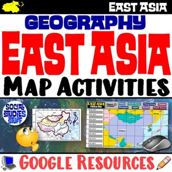
Geography of East Asia Map Practice Activities | Print and Digital | Google
End the cycle of bored students copying from books to label maps! Your classes think critically with these digital, interactive, geography activities. First, students answer questions about East Asia by analyzing various physical & political maps of the region. Then, a drag & drop challenge assesses their learning of the locations. This resource also includes a printable worksheet that takes labeling maps to the next level! They create a map using only absolute & relative location cl
Subjects:
Grades:
5th - 12th
CCSS:
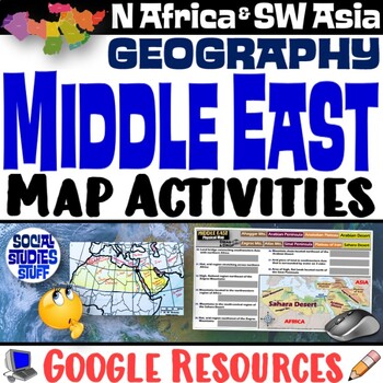
Middle East Map Practice Activities | SW Asia & North Africa Geography | Google
End the cycle of bored students copying from books to label maps! Your classes think critically with these digital, interactive, geography activities. First, students answer questions about the Middle East by analyzing various physical & political maps of the region. Then, a drag & drop challenge assesses their learning of the locations. This resource also includes a printable worksheet that takes labeling maps to the next level! They create a map of Southwest Asia & North Africa usi
Subjects:
Grades:
5th - 12th
CCSS:
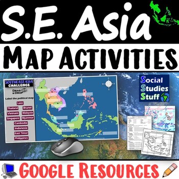
Geography of Southeast Asia Map Practice Activities | SE Asia Region | Google
End the cycle of bored students copying from books to label maps! Your classes think critically with these digital, interactive, geography activities. First, students answer questions about Southeast Asia by analyzing various physical & political maps of the region. Then, a drag & drop challenge assesses their learning of the locations. This resource also includes a printable worksheet that takes labeling maps to the next level! They create a map using only absolute & relative locati
Subjects:
Grades:
5th - 12th
CCSS:
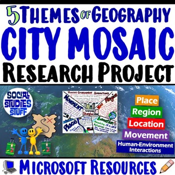
Five Themes of Geography Research Project PBL | 5 Themes City Mosaic | Microsoft
Challenge your class to research & showcase the “5 Themes of Geography” for a major world city. Creating mosaics is a fun way to assess student learning while letting them show off their creativity. First, they research their city’s location, place, region, movement, and human-environment interactions. Then, they design colorful mosaics with images & descriptions featuring their cities. A rubric sets clear expectations for your students & makes grading easy! Your purchase has editabl
Subjects:
Grades:
5th - 12th
CCSS:
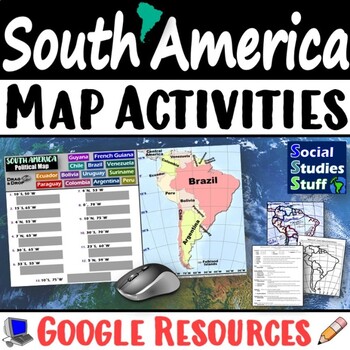
Geography of South America Map Practice Activities | Print and Digital | Google
End the cycle of bored students copying from books to label maps! Your classes think critically with these digital, interactive, geography activities. First, students answer questions about South America by analyzing various physical & political maps of the region. Then, a drag & drop challenge assesses their learning of the locations. This resource also includes a printable worksheet that takes labeling maps to the next level! They create a map using only absolute & relative locatio
Subjects:
Grades:
5th - 12th
CCSS:
Grade 7&8 Geography Bundle (includes Strand A&B) Google Classroom Ready
Strand A:In this bundle, I have added the Grade 7 Strand A: Physical Patterns in a Changing World and the Grade 8 Strand A: Patterns and Settlements Units. These lessons were made as a resource for my students who are learning virtually. Each lesson is was created with Ontario Social Studies- Geography curriculum in mind.Grade 7 Unit OverviewLesson Overview:Lesson # 1 ~ What is Geography?In this lesson, we will learn why geography is an important subject to study. We will explore the concepts of
Subjects:
Grades:
7th - 8th, Staff
Grade 8 Ontario History and Geography Workbooks
This BUNDLE contains TWO Geography and TWO History workbooks for Grade 8 students. Each workbook meets the Ontario Curriculum expectations for an ENTIRE Grade 8 Geography/History unit.All Grade 8 History and Geography units are included:Creating Canada 1850-1890Canada 1890-1914: A Changing SocietyGlobal Settlement: Patterns and SustainabilityGlobal Inequalities: Economic Development and Quality of LifeTogether, the workbooks total up to 254 pages of student worksheets! Each workbook has a full a
Grades:
8th
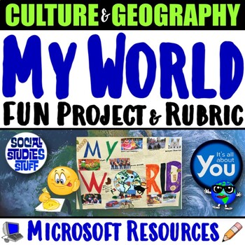
My World Culture and Geography Project | FUN Cultural PBL Activity | Microsoft
Students showcase their own unique cultures and geography with this fun “My World” project. First, a brainstorm activity challenges them to consider how cultural influences and geographical factors have shaped their lives. Then, they design creative and informative posters all about their WORLDS! Guided slides help you explain the project and a fill-in rubric makes grading easy. This project-based learning activity promotes cross-cultural understanding and students love decorating their globes w
Grades:
4th - 10th
CCSS:
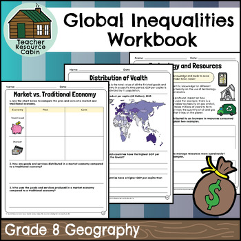
Global Inequalities: Economic & Quality of Life Workbook (Grade 8 Geography)
This workbook covers the Grade 8 Global Inequalities: Economic Development and Quality of Life unit in the Ontario Geography curriculum.In this workbook, students will learn about various aspects of economics and global development. It covers topics such as understanding resources, economic systems (traditional, market, command, mixed), industries, Canada's trading partners, the impact of CUSMA, factors contributing to economic development, quality of life, distribution of wealth, global develop
Subjects:
Grades:
8th
Also included in: MEGA BUNDLE: Grade 8 Ontario History and Geography Full Units
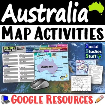
Geography of Oceania Map Practice Activities | Australia Region | Google
End the cycle of bored students copying from books to label maps! Your classes think critically with these digital, interactive, geography activities. First, students answer questions about Australia & Oceania by analyzing various physical & political maps of the region. Then, a drag & drop challenge assesses their learning of the locations. This resource also includes a printable worksheet that takes labeling maps to the next level! They create a map using only absolute & relati
Subjects:
Grades:
5th - 12th
CCSS:
World Map Practice Activities BUNDLE | 11 Continents and Regions | Google
End the cycle of bored students copying from books to label maps! Your classes will think critically with these engaging practice activities. First, they answer geography questions by analyzing various physical & political maps covering 11 different world regions. Then, a drag & drop challenge assesses their learning of the locations. Each world region includes a printable worksheet that takes labeling maps to the next level! Students create a map using only absolute & relative locat
Subjects:
Grades:
5th - 12th
CCSS:
Geography Around the World Christmas Map Activity
Students will review map and research skills (cardinal directions, latitude, longitude) and what they learned about political and physical geography by helping Santa and his reindeer get from one location to another to deliver presents. There are 25 questions and each answer is a different location in the world (country, city, body of water, etc). Students will then map each location Santa went to and then send him to 4 of their own design. The answers are included and if your students have a
Subjects:
Grades:
6th - 9th
Also included in: World Geography Full Course Bundle
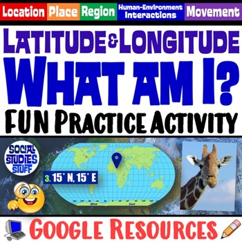
FUN Latitude Longitude Practice Activity | Geography Location Clues | Google
Students & teachers LOVE this digital “What am I?” activity! Challenge your class to use latitude & longitude coordinates to plot the locations of mystery animals on a world map. Then, they read clues & try to guess what animal lives at each absolute location. This activity integrates science & social studies curriculum and keeps your students highly engaged. Your purchase has print & interactive, digital versions of the materials. Made for traditional in-class learning or di
Subjects:
Grades:
4th - 8th
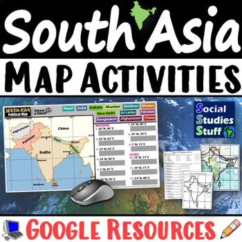
South Asia Map Practice Activities | India Geography | Print & Digital | Google
End the cycle of bored students copying from books to label maps! Your classes think critically with these digital, interactive, geography activities. First, students answer questions about South Asia by analyzing various physical & political maps of the region. Then, a drag & drop challenge assesses their learning of the locations. This resource also includes a printable worksheet that takes labeling maps to the next level! They create a map of India using only absolute & relative l
Subjects:
Grades:
5th - 12th
CCSS:
Grade 7/8 FRENCH History & Geography Workbooks (Ontario)
This FRENCH BUNDLE contains FOUR History and FOUR Geography workbooks for Grade 7/8 students. Each workbook meets the Ontario Curriculum expectations for an ENTIRE Grade 7/8 Geography/History unit.All Grade 7/8 Social Studies units are included:Grade 7: (Current 2018 Social Studies curriculum)La Nouvelle-France et l’Amérique du Nord britannique (1713–1800)Conflits et défis au Canada 1800-1850Exploitation des ressources naturellesConstantes physiques dans un monde en changementGrade 8: (Current 2
Subjects:
Grades:
7th - 8th
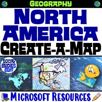
North America Create a Map Worksheet | Absolute and Relative Location Map Clues
End the cycle of bored students copying from a book to label maps! This Create-a-Map Worksheet takes labeling maps to the next level! Challenge your class to think critically using only absolute & relative location clues. Easy-to-follow directions make these a fun way to integrate mapping in your classroom! Everything you need is included!Includes Printable Resources: Microsoft & PDFPrintable Map Worksheet"Where is it?" Clues WorksheetAnswer KeyTeacher Reference GuideLocations Covered:US
Subjects:
Grades:
5th - 12th
CCSS:
Showing 1-24 of 1,770 results


