5,233 results
8th grade geography handouts
5 Themes of Geography Stations Activity | Five Themes of Geography Lesson
In this Five Themes of Geography stations and student activity, students analyze the five themes of geography (location, place, human-environment interaction, movement, and region) to understand how geographers study the world!This best-selling geography resource is included in the massive All Things Geography Bundle, as well as the American or the World History PLUS Curriculum!This lesson begins with students doing an introductory reading and activity on the five themes of geography. Then, stu
Grades:
5th - 9th
Types:
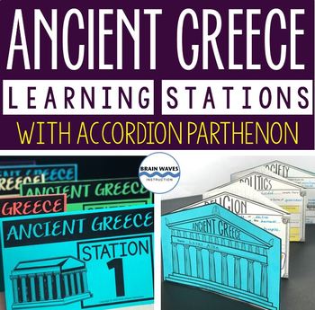
Ancient Greece Stations, Parthenon Accordion Book, Ancient Greece Activities
This resource contains six ancient Greece learning stations that students can rotate through in small groups. Each learning station (or center) is designed to give students engaging and exciting learning experiences to practice, enrich, review, and enhance their learning. Students will visit each station with a small group and complete ancient Greece activities. Here’s the fun part! During the learning stations, students will create an accordion book to showcase their learning. They’ll “build” f
Grades:
5th - 8th
Types:
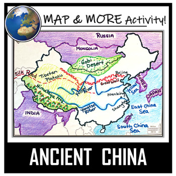
China Map Activity- Ancient China (Label and Color!)
This China Map Coloring & Labeling Activity is a great resource to enhance your unit! Each student will make their own, personalized map of the Chinese Empire, and learn about the geography and landmarks of the region. They will label and color their blank map, and answer follow-up questions related to the geography of China. A fun, 'Make a Travel Brochure' project has also been added. It's a great way of connecting your lesson on China to this map activity! In addition, this activity ha
Grades:
4th - 10th
Types:
CCSS:
Also included in: Ancient Civilizations / World Maps BUNDLE- Color & Label Activities!
Histagories Social Studies End of Year Activity for US and World History
In this history review and conversation game, students are engaged with 8 short lists of information where they work with partners (or individually) to try to come up with answers based on the letter for the round. Included is a letter-choosing paper (students flip a coin and see where it lands!) plus 8 different lists geared toward History, Geography, Geology, and Social Studies themes! A condensed worksheet is also included to save space.Enjoy this fun way to spend the first few (or last few
Subjects:
Grades:
5th - 8th
Types:
Geography Unit for Maps, 5 Themes of Geography, Map Reading, Latitude Longitude
In this Geography Unit bundle, you receive 12 hands-on, engaging, and effective resources to teach the 5 themes of geography, map reading, map skills, and geography. This geography bundle was created to teach the whole range of geography: students learn how to read all different kinds of maps (climate maps, thematic maps, road maps), the five themes of geography, how to read latitude and longitude, and the locations of places all over the world! This bundle is priced to save you over 20% inste
Grades:
5th - 8th
Types:
13 Colonies Regions New England, Middle, & Southern Colony Regions
In this 13 Colonies and Colony Regions activity, students compare the New England, Middle and Southern Colony Regions. Students read the included student-friendly article (either in a group, individually, or as a class), then fill in the details on the included graphic organizer. This serves as a great intro to the 13 Colonies, or as a great way to learn the varying characteristics of the New England, Middle, or Southern colony regions.This resource includes a paper in-class version and a 1:1
Grades:
5th - 8th
Types:
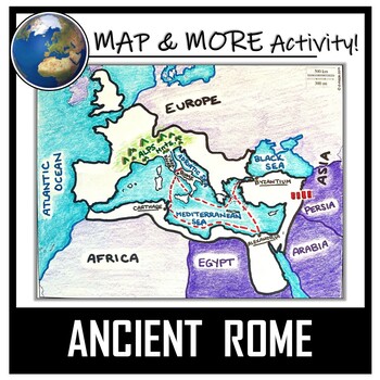
Ancient Rome Map Activity- Roman Empire (Label and Color!)
This Ancient Rome Map Coloring & Labeling Activity is a great resource to enhance your unit! Each student will make their own, personalized map of the Roman Empire, and learn about the geography and landmarks of the region. They will label and color their blank map, and answer follow-up questions related to the geography of Ancient Rome. A fun 'Make a Travel Brochure' project has also been added. It is a great way to connect this map activity to your lesson on Ancient Rome! A link to Goo
Grades:
4th - 11th
Types:
CCSS:
Also included in: Ancient Civilizations / World Maps BUNDLE- Color & Label Activities!
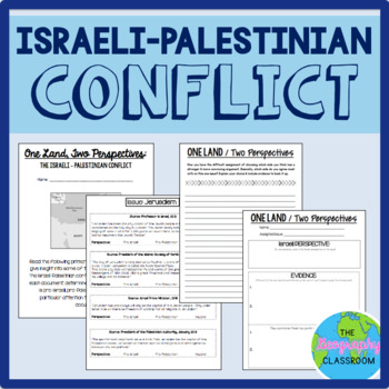
Israel Palestine Conflict History Set
This set includes several resources and activities to use when teaching the complicated Israeli-Palestinian conflict. This set includes:- A short reading on the "two-state solution"- Several primary source documents that help students understand the major issues preventing a two-state solution. As students read the documents, they have to decide whether each document has a pro-Israeli perspective, a pro-Palestinian perspective, or a neutral perspective. - 12 page PowerPoint slides for teachers t
Grades:
6th - 12th
Types:
Latitude and Longitude Worksheet | 3 Activities for Latitude Longitude
In this latitude and longitude student activity lesson, students are taught how the geographic coordinates of longitude and latitude are used and found. Students complete THREE different activities to build their skills with understanding latitude and longitude. First, students complete a short introductory reading with a short activity focused on the purpose and basics of latitude and longitude. Next, students complete a "Which City Is Located Here" activity, where they are given geographic c
Grades:
5th - 8th
Types:
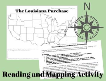
The Louisiana Purchase and Lewis & Clark Mapping Activity
This one day lesson will introduce students to the Louisiana Purchase while incorporating mapping and geography skills.Included in your purchase:1. Summary of Louisiana Purchase and Lewis & Clark expedition.2. Blank Map of the United States3. Directions for coloring and labeling map of the United States using current and historical place names related to the Lousiana Purchase and the Lewis & Clark Expedition.Note Some Additional Supplies Needed:--Colored Pencils--Map resources to help st
Grades:
6th - 10th
Types:
Also included in: Thomas Jefferson, The Louisiana Purchase and Lewis & Clark Lesson Bundle
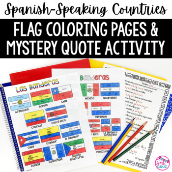
Spanish Speaking Countries Flags Worksheets Spanish Colors Coloring Pages
These coloring pages practice Spanish colors using flags of Spanish-speaking countries. Line versions of each flag have the color in Spanish for each section of the flag (rojo, blanco, azul, etc.) It also includes a mystery phrase activity in basic Spanish using clues about each flag. Ex. La bandera de Colombia es ___, azul, y roja. The answers help solve the secret phrase which is a quote about travel. The answer key for the mystery phrase page is included.These can be copied front and bac
Subjects:
Grades:
4th - 12th
Types:
Ancient China Geography | Learn Geography of China and Evaluate Statements
This Ancient China Geography lesson provides an engaging view into China's geography, environment, and how the environment determined peoples' way of life in Ancient China. Students engage with this resource by completing a guided graphic organizer as they read stations and handouts about several of China's geographic features. Students complete a map to learn about SEVEN geographic features around China's landscape, learn how these features have impacted life, and verify and debunk several (14
Subjects:
Grades:
5th - 8th
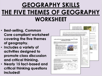
Geography Skills - The Five Themes of Geography worksheet
Geography Skills - The Five Themes of Geography worksheetBEST SELLER!AIM: How do the five themes of geography help us to better understand our world?Common core compliant worksheet that introduces students to the five themes of geography as a tool for understanding our world. Includes a variety of student-centered activities designed to promote critical thinking and class discussion. Topics covered in this worksheet include:The five themes of geography – location, place, human-environment intera
Grades:
7th - 12th
Types:
Also included in: 9th Grade Global/World History MEGA Bundle
Ancient India Geography + Monsoons Lesson Guided Notes and PowerPoint Activity
In this Ancient India Geography notes and PowerPoint lesson activity, students learn about the geography, climate, and monsoons of modern and ancient India. First, students complete a two-page guided note worksheet with the included 18-slide PowerPoint presentation. A map activity is also included in the guided notes for students to locate and identify locations as the notes are completed. Next, students complete a close-reading assignment about a ship-wrecked sailor that shows the ancient Ind
Grades:
5th - 8th
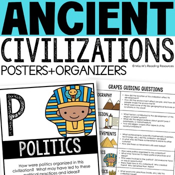
Ancient Civilizations GRAPES Posters Ancient Greece Ancient Rome Ancient China
Help your students learn and organize info about ancient civilizations with these G.R.A.P.E.S. posters, guiding questions, and graphic organizers! The GRAPES Ancient Civilizations Poster and Graphic Organizer Set is an easy acronym to organize information for the basic traits of ancient civilizations. G.R.A.P.E.S. is an acronym for:G- GeographyR- ReligionA- AchievementsP- PoliticsE- EconomicsS- Social StructureGRAPES is an effective way to learn and organize information about different civilizat
Grades:
6th - 8th
20 Blank Maps of different regions of the world (Political & Physical Maps)
I have created 8 groups of blank maps along with the political (cities, states, countries) and physical (rivers, oceans, mountains etc.) that need to be labeled and colored for each.The maps included are:1. Physical map of the world2. Political and Physical maps of Africa3. Political and Physical maps of South (Latin) America4. Political and Physical maps of US & Canada (One political map of the US, One political map of Canada and then a physical map that contains the US and Canada).5. Polit
Grades:
4th - 12th
Types:
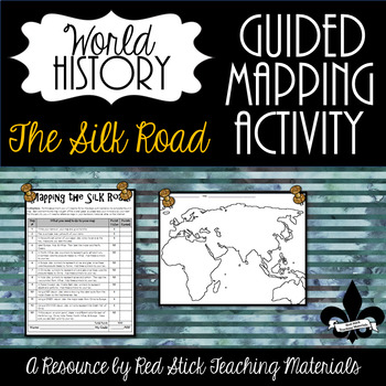
Mapping the Silk Road Activity--No PREP!
This ready-to-use Mapping The Silk Road Activity will give students a 10-step guided mapping activity. All students need to complete the assignment is a World History Textbook, Historical Atlas, OR the internet. This is a great activity to leave with a substitute since it requires only a textbook, crayons, and no prep!Included is the 10-step Mapping the Silk Road handout and a Map of Europe, Africa & Asia. The 10-step handout also serves as a grade sheet/checklist for easy grading and
Grades:
6th - 9th
Types:
Also included in: The Silk Road--Enrichment and Engagement Bundle
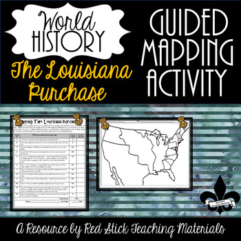
Mapping The Louisiana Purchase--No PREP!
This ready-to-use Mapping the Louisiana Purchase will give students a, 12-step guided mapping activity on the Louisiana Purchase. All students need to complete the assignment is n American History Textbook, Atlas, OR the internet. This is a great activity to leave with a substitute since it requires only a textbook, crayons, and no prep!Included is the 12-step Mapping the Louisiana Purchase handout and the time period-specific Map. The 12-step handout also serves as a grade sheet/checklist
Grades:
7th - 11th
Types:
Also included in: Guided Mapping Growing Bundle for Early American History--NO PREP!
Northwest Ordinance, Land Ordinance, the Northwest Territory, & the Common Core
In this Northwest Ordinance and Land Ordinance primary source analysis activity, students are introduced to the Land Ordinance of 1785, the Northwest Territory, and the Northwest Ordinance to understand their impact to US and American History.Students are engaged with a variety of pictures and text selections from both Ordinances. In keeping with the Common-Core, students are asked to be "close-readers" and pull out specific information from the text. Finally, at the end of each Ordinance, stu
Grades:
7th - 10th
Types:
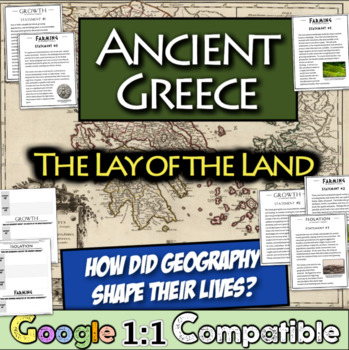
Ancient Greece Geography Gallery Stations | Greek Isolation, Farming, and Growth
In this engaging Ancient Greek Geography resource, students examine NINE statements across three overarching themes that were impacted by the Ancient Greek Geography: isolation, farming, and growth. For each statement, students focus on an overarching question and record relevant details on a graphic organizer matrix that are focused on the central question. Students learn about the impact of the mountainous landscape, their reliance on specialized farming, trade with others, colonies, and much
Subjects:
Grades:
5th - 8th
Types:
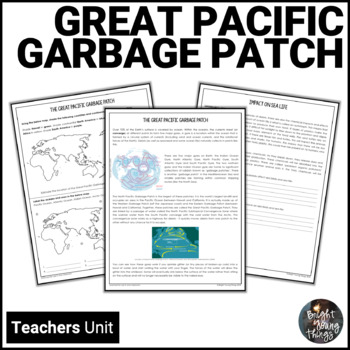
Great Pacific Garbage Patch | Ocean Pollution | Earth Day unit
Are you looking for interesting and unusual ways to learn about human impacts on the environment? Planning for Earth Day, Clean Up Australia Day, Oceans Week, World Environment Day or World Water Day. If your students don't quite understand the importance of recycling, the Great Pacific Garbage Patch will alert them to the real impacts that just one plastic bottle can have.While many people are unaware of the Great Pacific Garbage Patch, it is a major issue affecting global environmental health
Subjects:
Grades:
5th - 8th
Types:
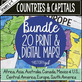
Countries and Capitals of the World Map Activity Bundle (Print and Digital)
Do your students need to know the locations of countries around the world and their capitals? This set bundles all of my engaging country and capitals map activities. These no-prep resources will make covering the countries and capitals of the world easy! The following maps are included in this bundle:AustraliaCanada, Mexico and the United StatesCentral AmericaEastern EuropeNorthern EuropeSouthern EuropeWestern EuropeEuropeSouth AmericaMiddle EastCentral Asia Ukraine South Asia East Asia Southea
Subjects:
Grades:
6th - 9th
Types:
CCSS:
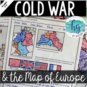
Cold War: The Changing Borders of Europe: 1945-1993
This mini-lesson will help your students understand how Europe's borders changed after World War II, during the Cold War, and after the collapse of the Soviet Union. You can use this as guided notes, station work, homework, in an interactive notebook, and much more! What's Included:*Changing Borders of Europe Reading Packet (7 pages, in color and b&w)*PowerPoint presentation to use instead of the reading packet (32 slides) *added May 2017**Student Handout for notes (7 pages, students will fi
Subjects:
Grades:
6th - 9th
Also included in: Cold War Lesson Bundle for U.S. and World History Units
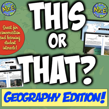
"This or That" Geography Edition | Back to School + Bellringer Resource!
In this "This or That" geography activity, students engage in five rounds and choose one of two options based on which environment, settings, or locations they prefer -- then students learn more about places around the world that they would enjoy! For example, would you choose "this" --> "You would prefer to visit a spot with many options of things to do."Or would you choose "that" --> "You would prefer a vacation that is simple and scenic."Then, depending on the option they chose, studen
Subjects:
Grades:
5th - 8th
Also included in: This or That Back to School Bundle | 3 Fun Activities to Start the Year!
Showing 1-24 of 5,233 results


